Bantjes, Rod, “Document name.html,” in Eigg Mountain Settlement History, last modified, 29 March 2024 http://people.stfx.ca/rbantjes/gis/txt/Introduction.html.
D. MacGee (Eigg Mountain Settlement History)
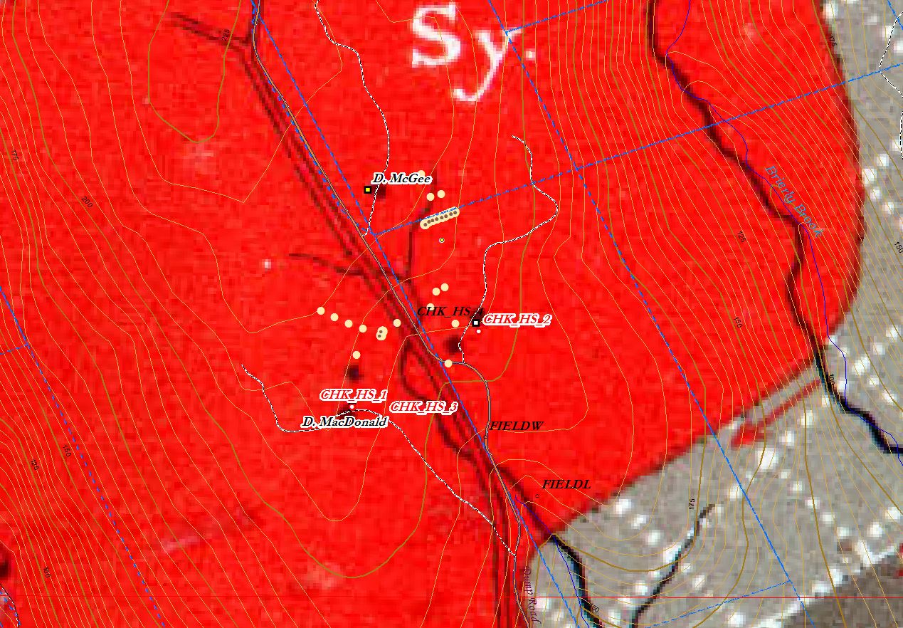
I initially located D. MacGee here on the evidence of the Geological Survey Map (Figure 1). On our ground survey of June 11, 2016 we located a boundary wall separating D. MacDonald to the south from this, obviously also farmed land. The name MacGee comes from the Church Map.
Figure 1 – Georeferenced Geological Survey Map of 1886.