Bantjes, Rod, “Document name.html,” in Eigg Mountain Settlement History, last modified, 29 March 2024 http://people.stfx.ca/rbantjes/gis/txt/Introduction.html.
![]() Silver Mine Camp (Eigg Mountain Settlement History)
Silver Mine Camp (Eigg Mountain Settlement History)
The stove is on a gravel plateau to the east of the main channel. There is evidence of a channel further east that almost looks as if it could have been dug. I had the location picked out from the 1945 aerial photo as a possible mill site. Charlie is skeptical because of the difficulty of accounting how they would have hauled the wood out from the deep ravine. (October 24, 2015)
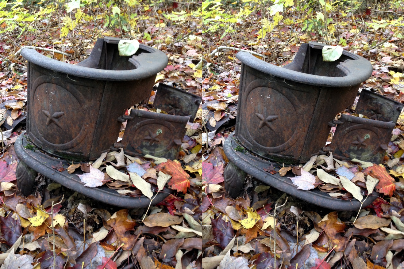
Figure 1 – This is a stereo image designed for cross-eyed viewing
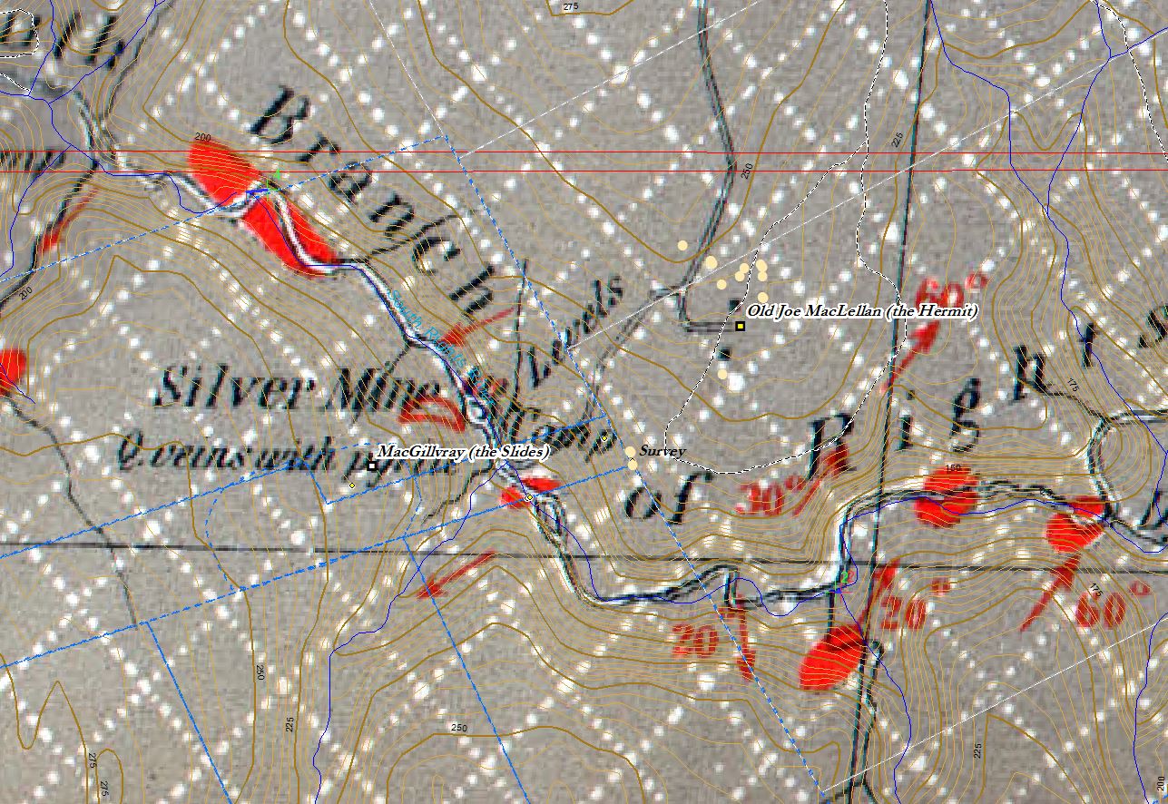
Figure 2 – Georeferenced Geological Survey Map of 1886
The Geological Survey map reveals two interesting features of this site. One is that the camp was related to a silver mine not a mill. The other is that the road came all the way down the east bank which is amazing given the grade.