Bantjes, Rod, “Document name.html,” in Eigg Mountain Settlement History, last modified, 29 March 2024 http://people.stfx.ca/rbantjes/gis/txt/Introduction.html.
, A. [Alexander, son of Ranald] (see Fraser, As] (Eigg Mountain Settlement History)
Despite some initial discussion,[1] this site is likely the house of Ranald Fraser, passed on to his son Alexander (A. Fraser on the Church map) and then to his son Dan Fraser (see Escheat 39-5). It is on a lot attributed to the Frasers.
Alexander “Sandy” Fraser son of pioneers Ronald and Mary (MacIsaac) Fraser was born about 1821 in Scotland and came to the mountain with his family when they arrived about 1823.[2] He married Margaret MacDonald daughter of Colin “Loddy” and Mary MacDonald on February 7, 1857. They can be found in the 1871 census on a 200 acre farm with 100 acres improved and 30 acres in pasture. This was the farm of pioneers Ronald and Mary Fraser. They had a horse, 5 milk cows, 2 horned cattle, 6 sheep and 2 pigs. In 1871 they had 8 children ranging in age from 12 years to a year old – Angus, Donald, Flora, Colin, Margret, Margret, Christy and Mary.[3] In the 1881 census they are all still living on the farm – in 1891 the parents are living with Angus, Donald, Colin and Christy. Alexander Fraser died on May 19, 1895 at the age of 74 years[4] – in the 1901 census his widow Margaret was living with her sons Angus and Donald and her sister-in-law Mary Fraser widow of Donald Fraser. Margaret Fraser died in 1905.
The house foundation is 35 by 26 ft., oriented 318º towards Franks Road [there in 1879?]. The cellar follows almost the full length of the east wall with the exception of what appears to be an entryway on the south wall. It extends 13 ft to the west. The remaining 12 ft to the west wall are at ground level. There is an extension of the foundation to the west inlet 4 or 5 ft from each corner of the west wall. There is an unusual wall structure extending down the bank to the north of the house and then turning sharply west. The first leg, if the rubble base goes deep enough might have functioned as a drain for the cellar and may help to explain the relatively good condition of the cellar at that wall.
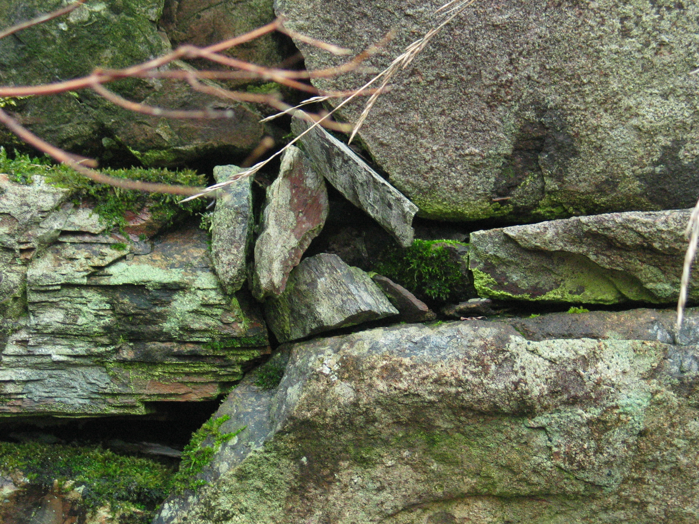
Figure 1 – Stonework on the north wall. Charlie remembers that the Frasers were masons.
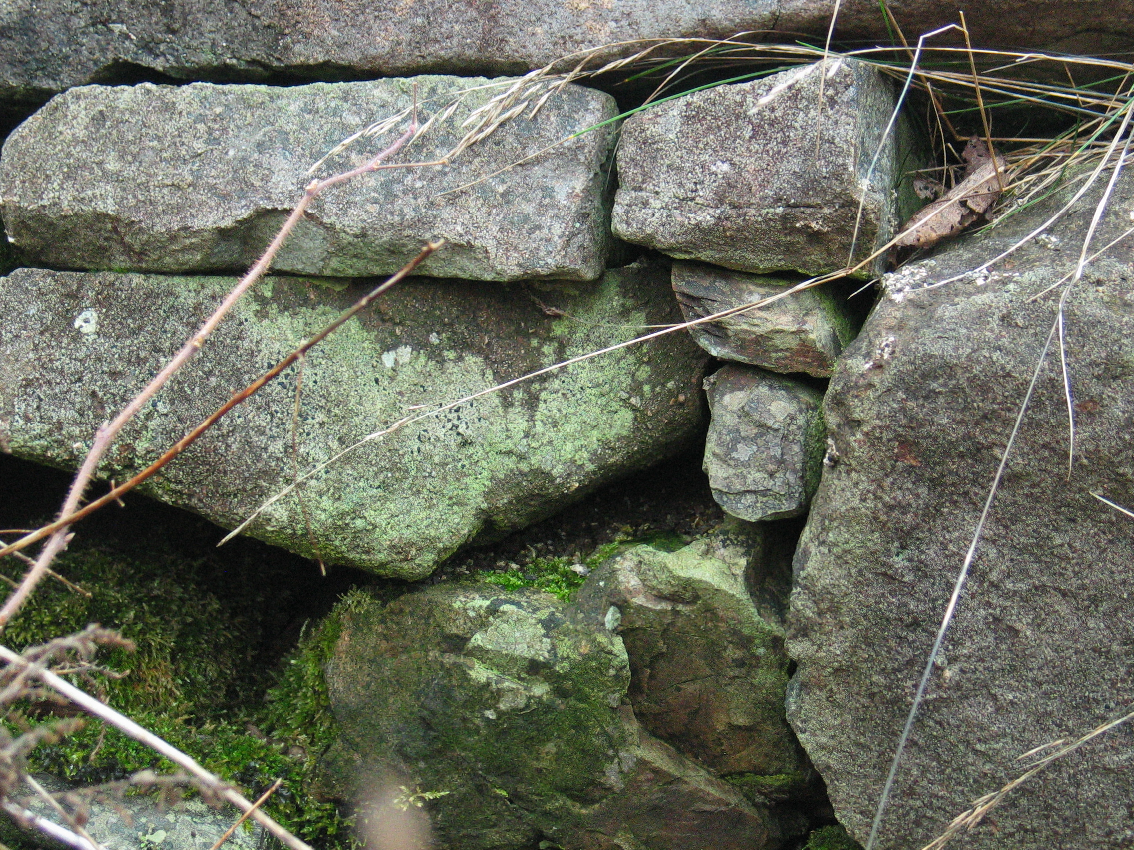
Figure 2 – Stonework on the north wall. Small support stones have been carefully fitted to ensure that the difficult shapes of the main building stones interlock firmly.
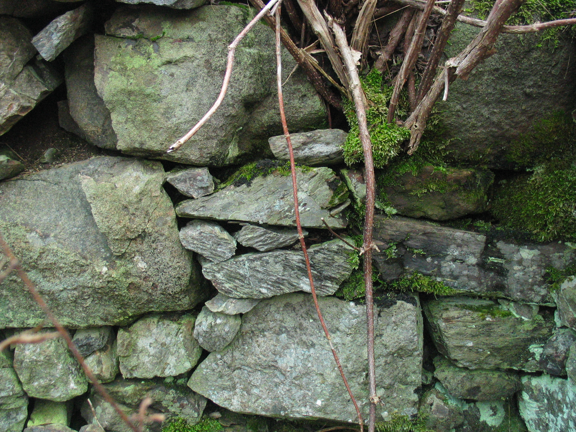
Figure 3 – Stonework on the north wall.
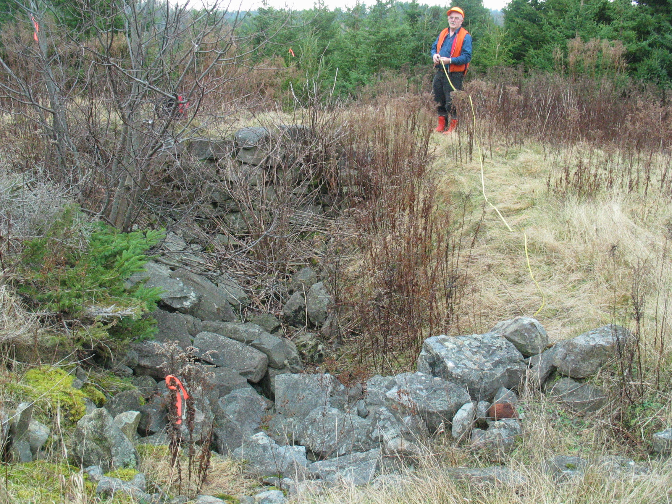
Figure 4 – Foundation looking north
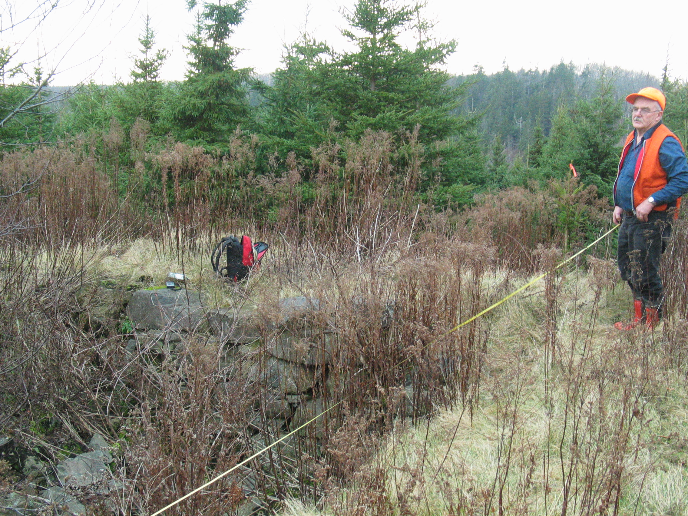
Figure 5 – Foundation looking northwest
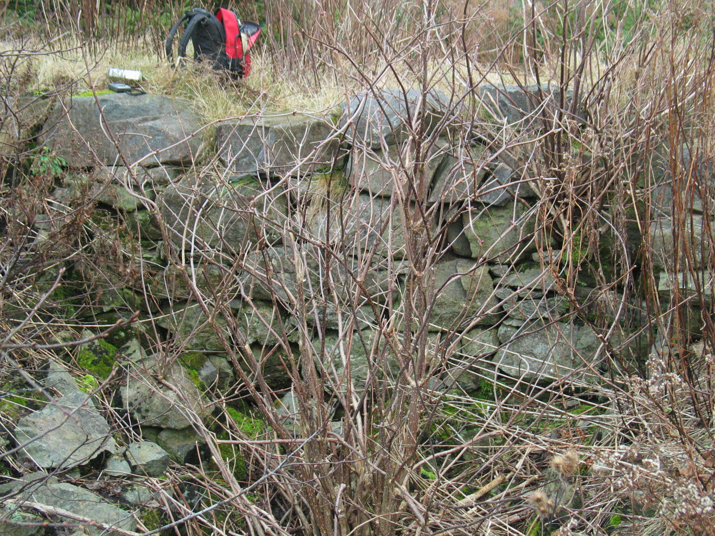
Figure 6 – North wall
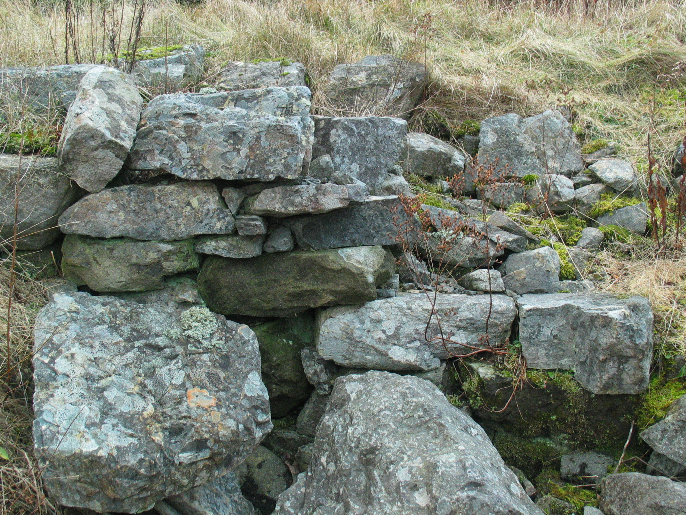
Figure 7 – South wall and entryway to cellar
[1] The name and the position (just north of the main road and west of “Clyde’s Road”) are taken from the Church Map; we were at first unable to locate the foundation (which I believe the Teasdales think is to the east near the line of rock piles. Fraser’s house served as the post office. (Kenton and Charlie Teasdale, Antigonish, December 2, 2004).
A later conversation (November 3, 2005) suggests that the site referred to above is Ronald Col MacDonald’s, in which case the question is, where was A. Fraser?
On November 18, 2006, this point was moved north to a revised position where Charlie discovered a foundation.
[2] Rankin, 134.
[3] Census of Nova Scotia [assuming this is what it is called], 1871, page 23, line 19, division 2.