Bantjes, Rod, “Document name.html,” in Eigg Mountain Settlement History, last modified, 29 March 2024 http://people.stfx.ca/rbantjes/gis/txt/Introduction.html.
Angus (Eigg Mountain Settlement History)
[I have this as the property of the “A. Gillis” (on the Church map) at the top of the old trunk road. (see Lot 007)] Angus Gillis stipulated in his will in 1869, that cattle from the property be sold to pay for the education of his son Colin Gillies.[1] [A Grants Map for 1859 shows this land belonging to a Dan Gillis.] The farm was vacant by 1900.
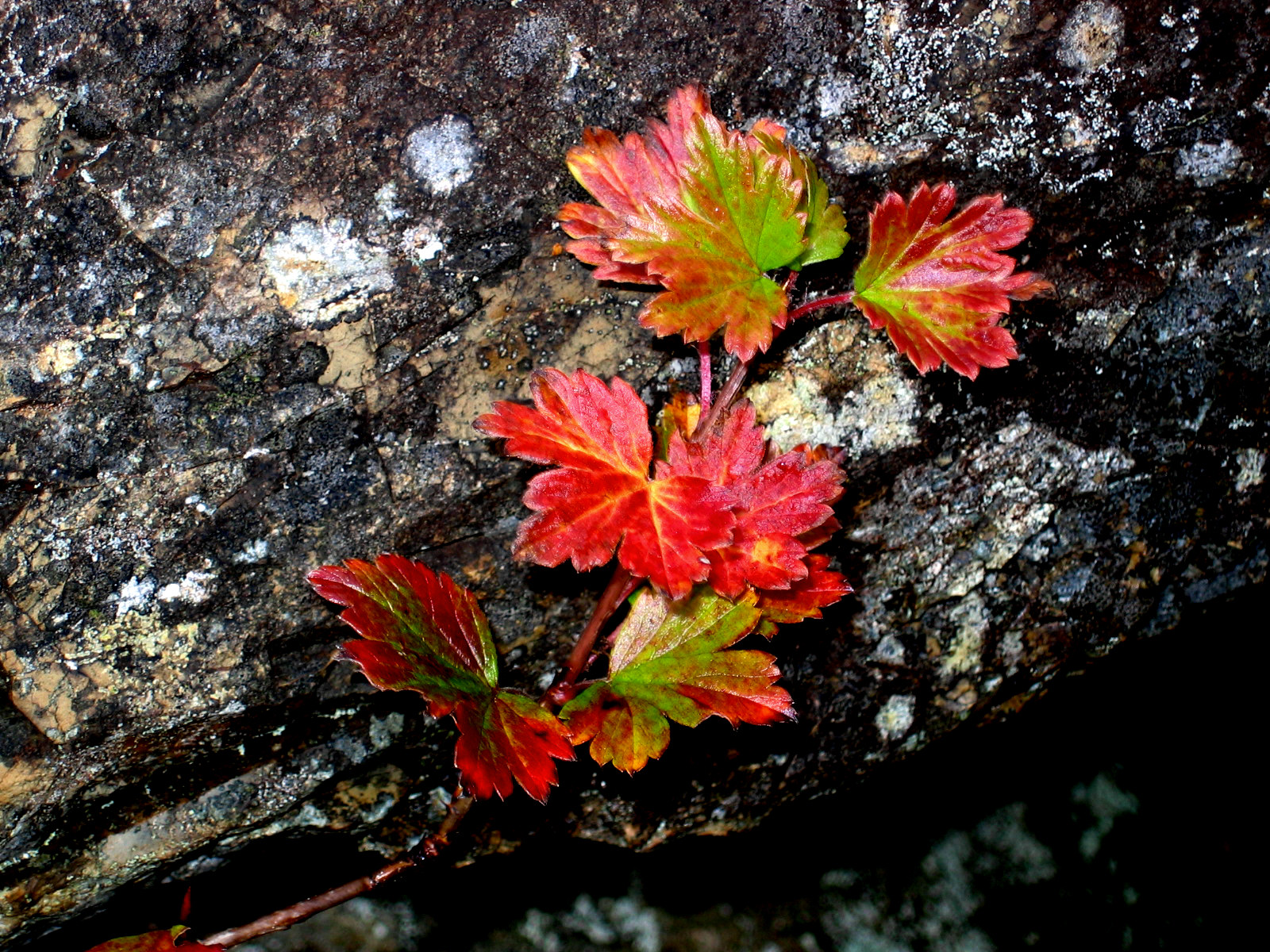
Below is a photo of gooseberry leaves near the house site. This is a common plant near house sites and would have been useful to the settlers for its berries. Charlie wonders if they were planted here (perhaps brought over from Scotland) or just grew wild.[2]
Figure 1 – Gooseberry, 2004.
The cellar is large and two-chambered with a high berm for the foundation. The clear line of the berm is only visible in 3D (Figure 3).
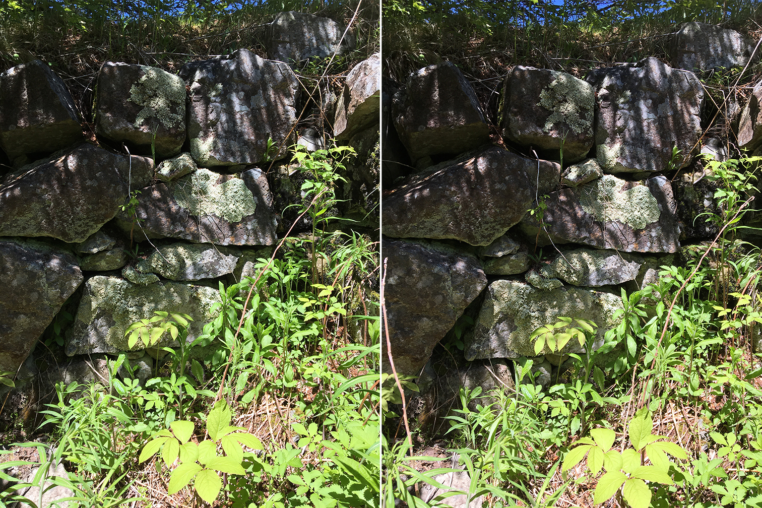
Figure 2 – 3D Image of the northwest corner of the cellar, June, 2018.
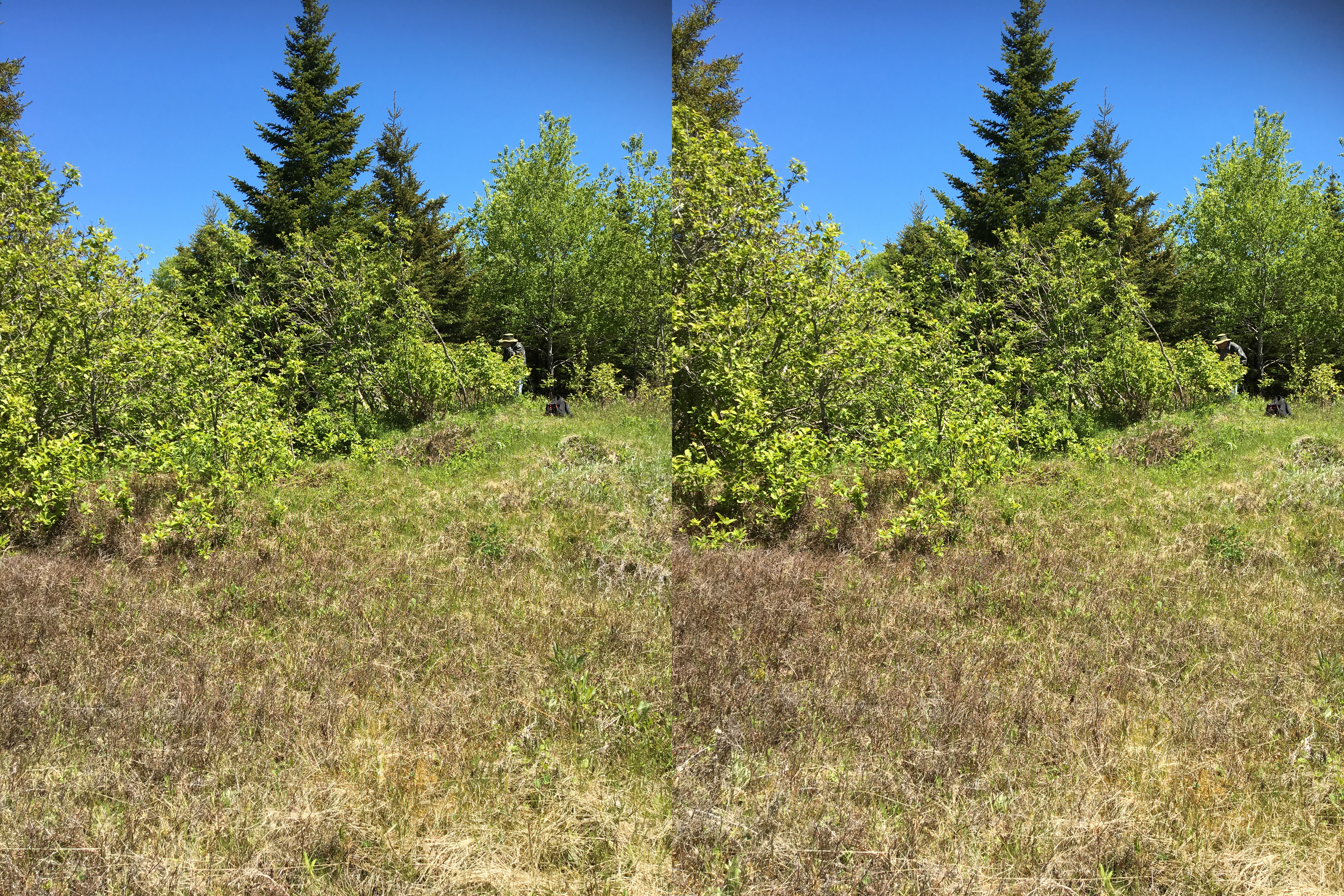
Figure 3 – Looking east across the cellar, June, 2018.
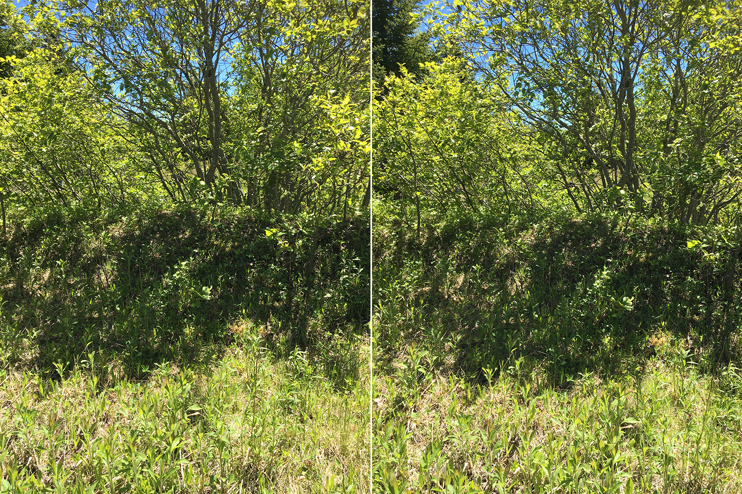
Figure 4 – 3D Image showing the height of the berm. Looking toward the cellar from the north, June, 2018.
[1] If Angus is John Red’s son, then he died immediately after his father (1868) (see A-383)
[2] Kenton and Charlie Teasdale, Eigg Mountain, October 16, 2004.