Bantjes, Rod, “Document name.html,” in Eigg Mountain Settlement History, last modified, 29 March 2024 http://people.stfx.ca/rbantjes/gis/txt/Introduction.html.
![]() Rock Outcrop (Eigg Mountain Settlement History)
Rock Outcrop (Eigg Mountain Settlement History)
This is a site that Charlie and I investigated as a possible abandoned gold mine. Charlie had heard a story from someone who said an old-timer had showed him the mine entrance. Charlie had decided that a white area that showed up on an aerial photo in the right general vicinity was a likely candidate. The Geological Survey map indicates a silver mine further upriver, but no goldmine in the vicinity. I was skeptical about the gold mine. It sounded like an attractive myth, maybe confused in the re-telling with the silver mine. We found a beautiful rock outcrop and I climbed down to the base but found no openings. Charlie was convinced he saw workings along part of the outcrop. What I saw was consistent with rock-fall caused by erosion, and I told him so. Besides, there was nothing that would show up on an aerial photo. Despite my skepticism I kept exploring further and further down the cliff as if being drawn by a call. What I found was probably not a mine, but amazing nonetheless.
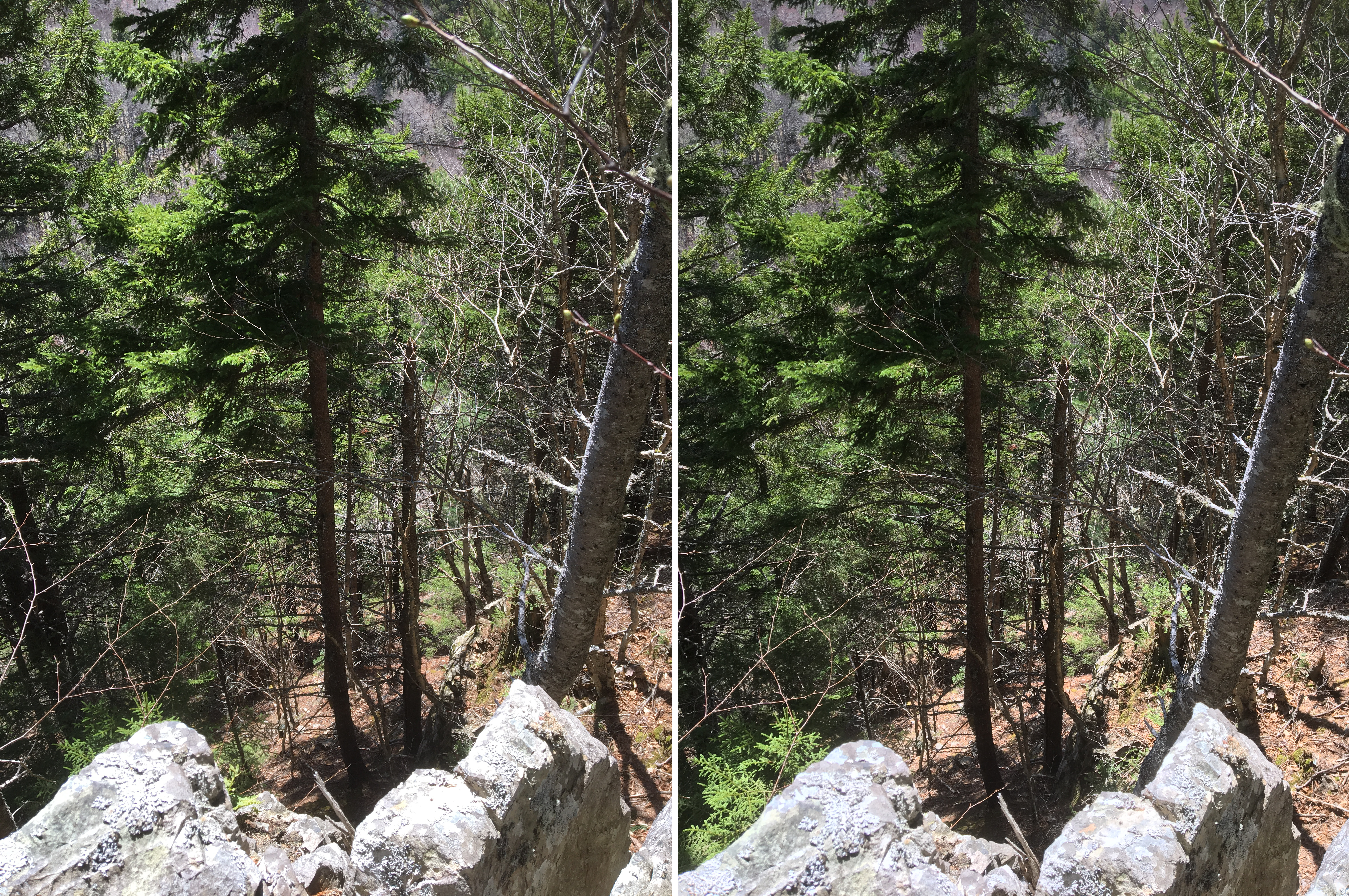
Figure 1 – Looking over the rock into the gully. This is a stereo image designed for cross-eyed viewing. May 12, 2018.
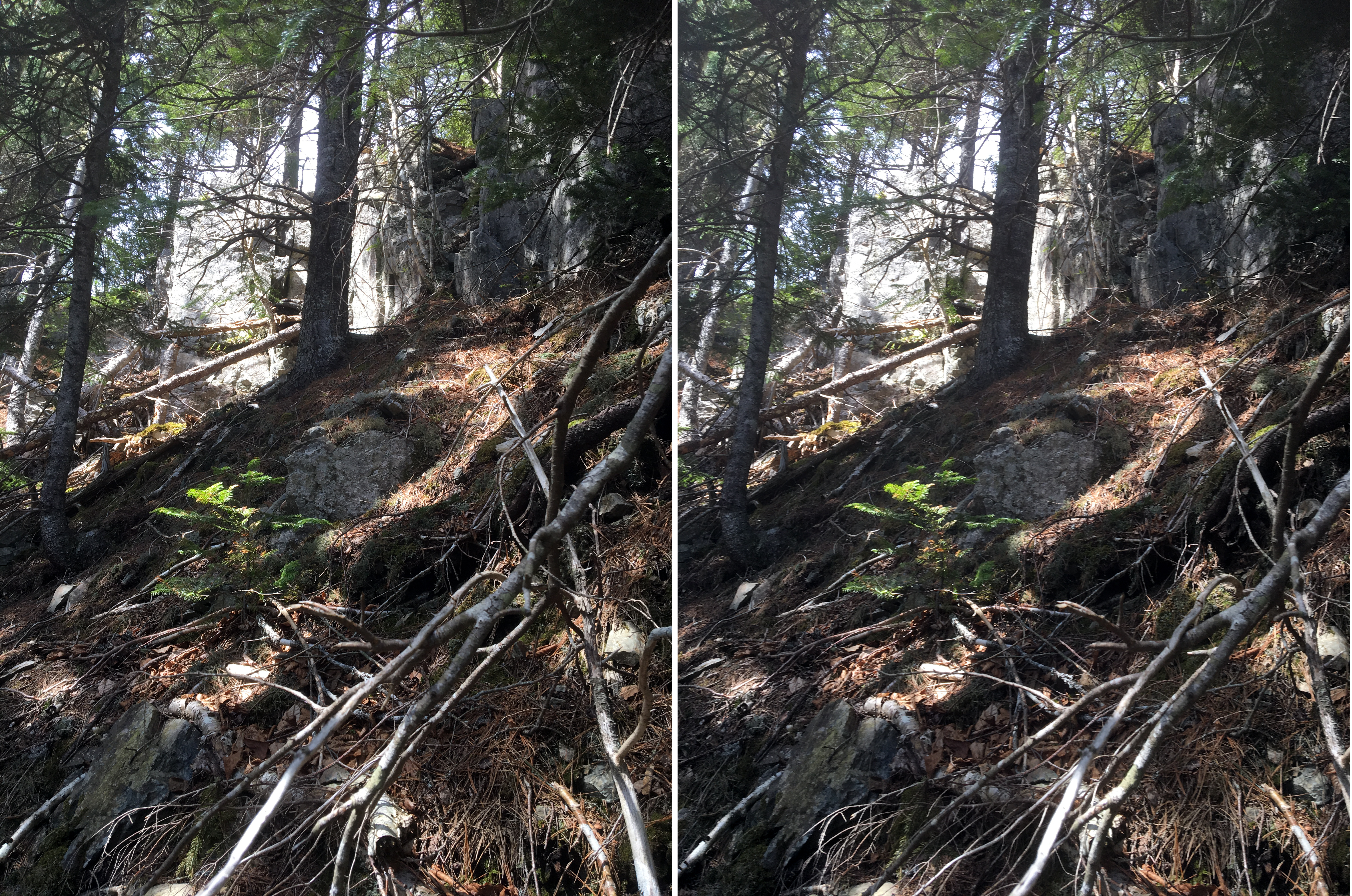
Figure 2 – Looking up towards the rock outcrop. May 12, 2018.
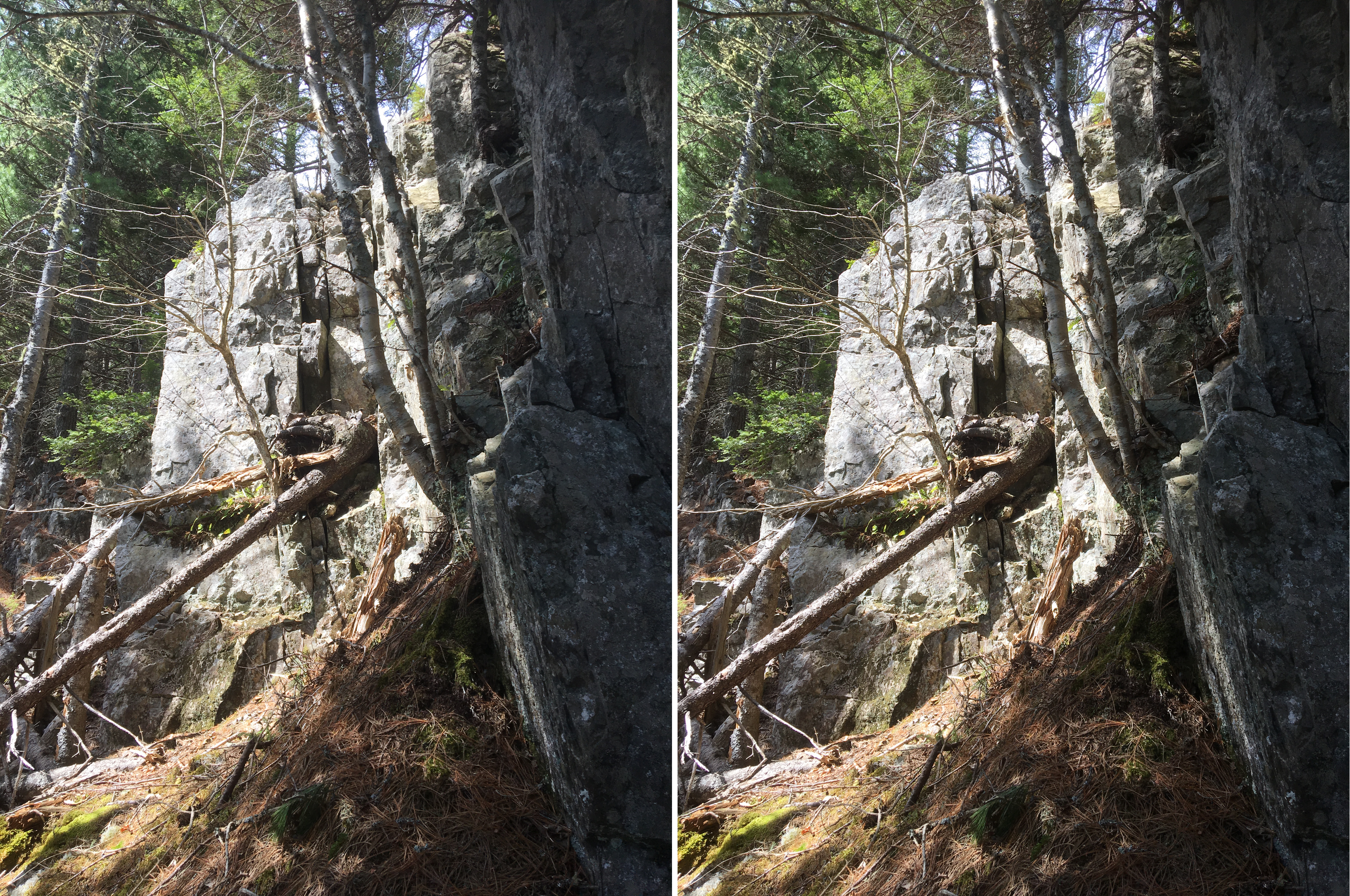
Figure 3 – Looking up. It is shale with vertical strata. May 12, 2018.