Bantjes, Rod, “Bridge_4180,” in Eigg Mountain Settlement History, last modified, 8 August 2015 (http://people.stfx.ca/rbantjes/gis/txt/eigg/introduction.html).
Stone Bridge on the Horseshoe Turn
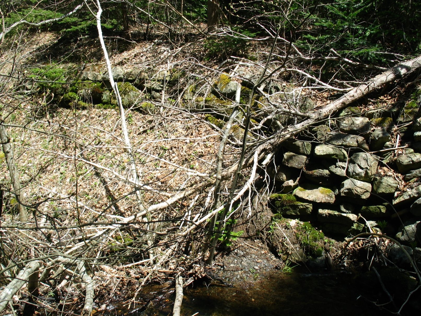
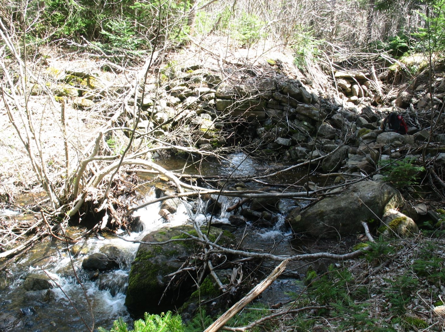
This is the original stone bridge where the main road crossed John A’s Brook at the Horseshoe Turn near Georgeville. It is actually more of a causeway with a culvert than a bridge. The culvert is wood. There is no self-supporting stone arch. This section of the road was abandoned in the early 60s when the road was upgraded.
The following is a photo of the approach to the culvert (on the right) looking upstream.
Here is the culvert. The stones follow an arch but are not stacked properly to be self-supporting.
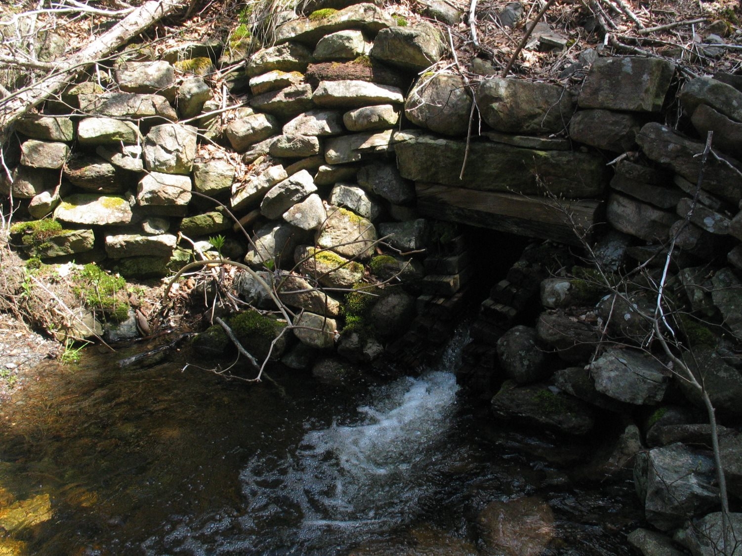
The structure has begun to be washed out on the right. Bernie was surprised by this, so it must have occurred fairly recently. He says the culvert has always been able to handle the flow in the past (however, he may not realize how much maintenance was needed to keep the inflow clear).
Georgeville, May 20, 2008