Bantjes, Rod, “BLDW_4171.html,” in Eigg Mountain Settlement History, last modified, 14 August 2015 (http://people.stfx.ca/rbantjes/gis/txt/eigg/introduction.html).
Arisaig Back Settlement Dwelling (BLDW_4171) (Eigg Mountain Settlement History) (Map Location)
This is a house site about halfway along the Back Settlement Road, roughly where J. MacDonald is indicated on the Church map. It is close to the boundary line between two properties. The one to the east is attributed to Donald MacDonald 1829 to 1858. This one is attributed to Donald MacDonald 1829 and Peter Gillis 1800-1858. Charlie Teasdale remembers a different large cellar near this location so there may have been more than one house in the vicinity.
The foundation is 24 by 24 ft oriented almost due north (10 degrees) looking over a slope which, before the fields re-grew, would probably have had a view to the Northumberland Strait. The cellar, 18 by 12 ft was on the east side of the building. It has a good line of exposed rock wall on the north, west and south sides as can bee seen from the photos.
Just below the house is a small depression that my have been a root cellar.
Photo of the cellar looking east.
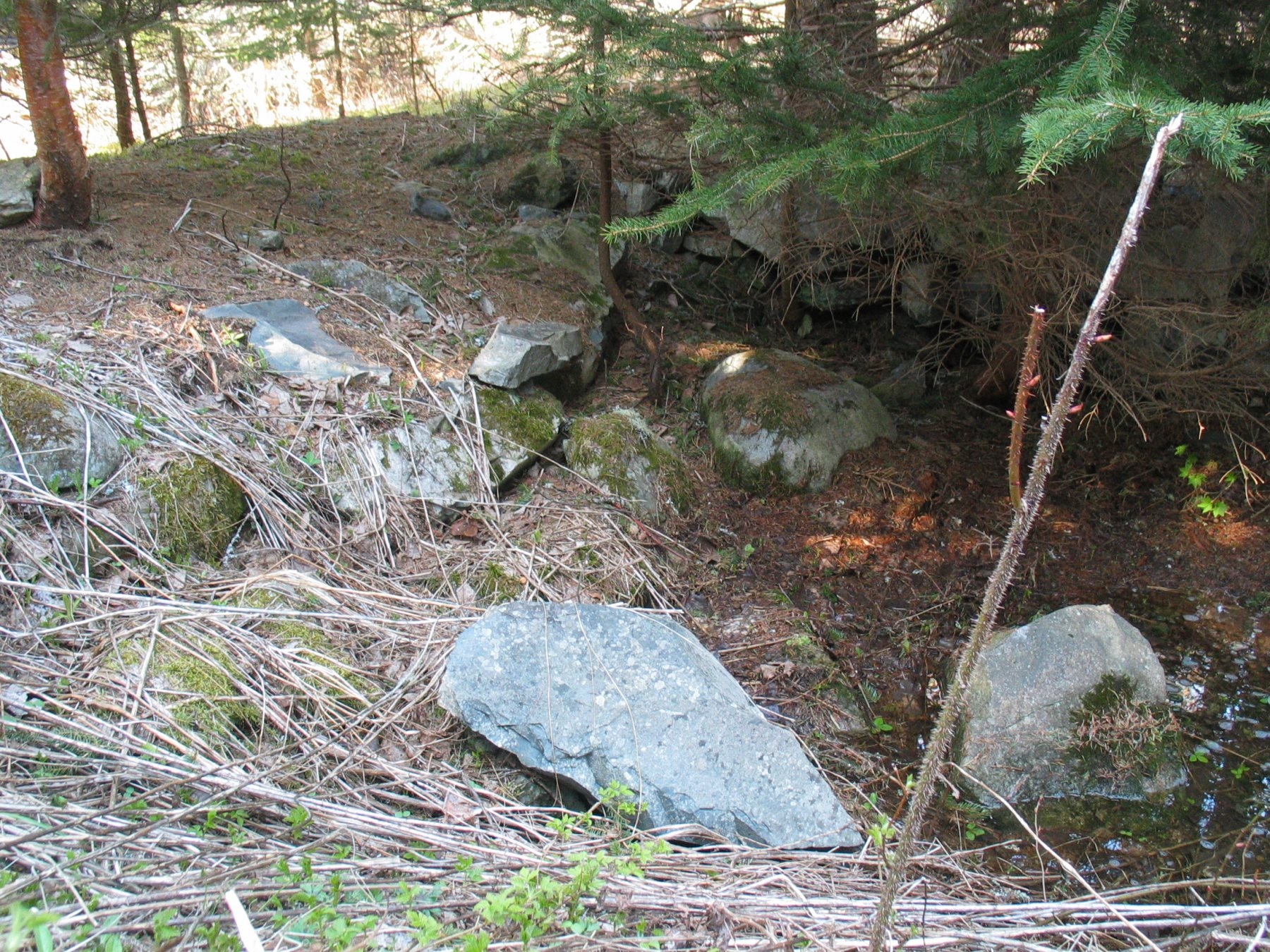
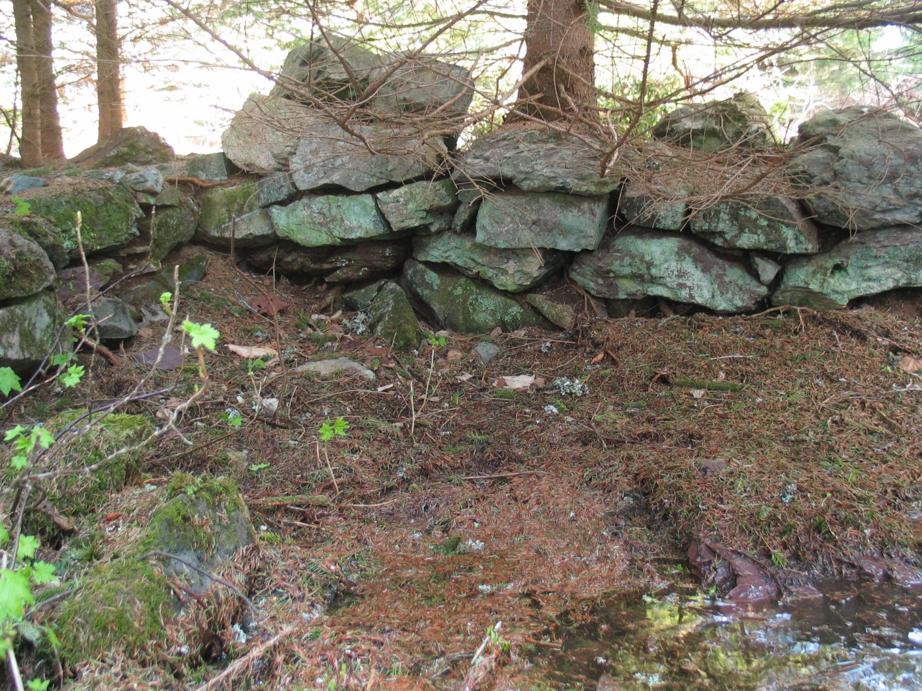
Photo of the cellar wall looking south at the southeast corner. The cellar is now quite shallow with water pooling at the bottom.
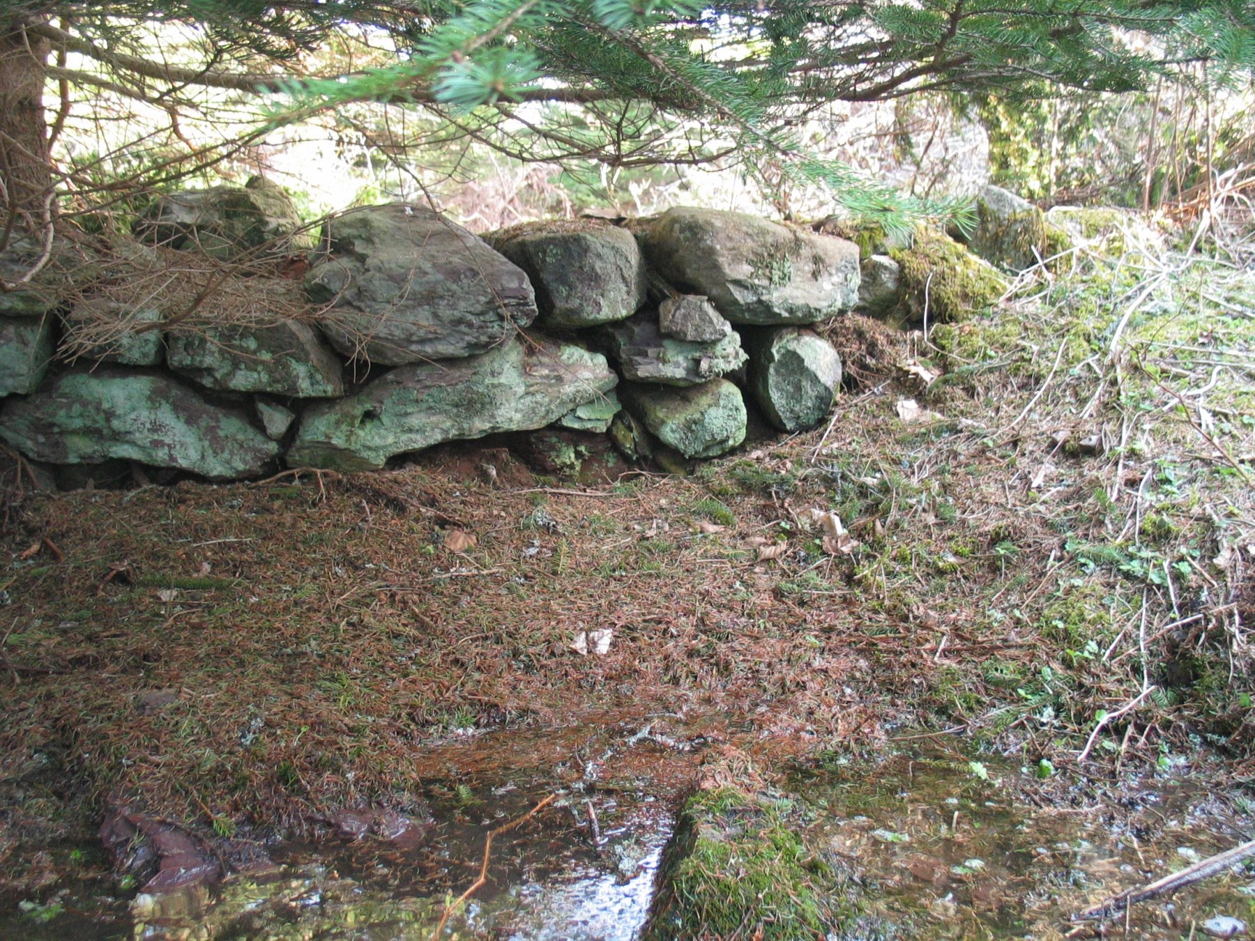
Another photo of the south wall towards the west corner.
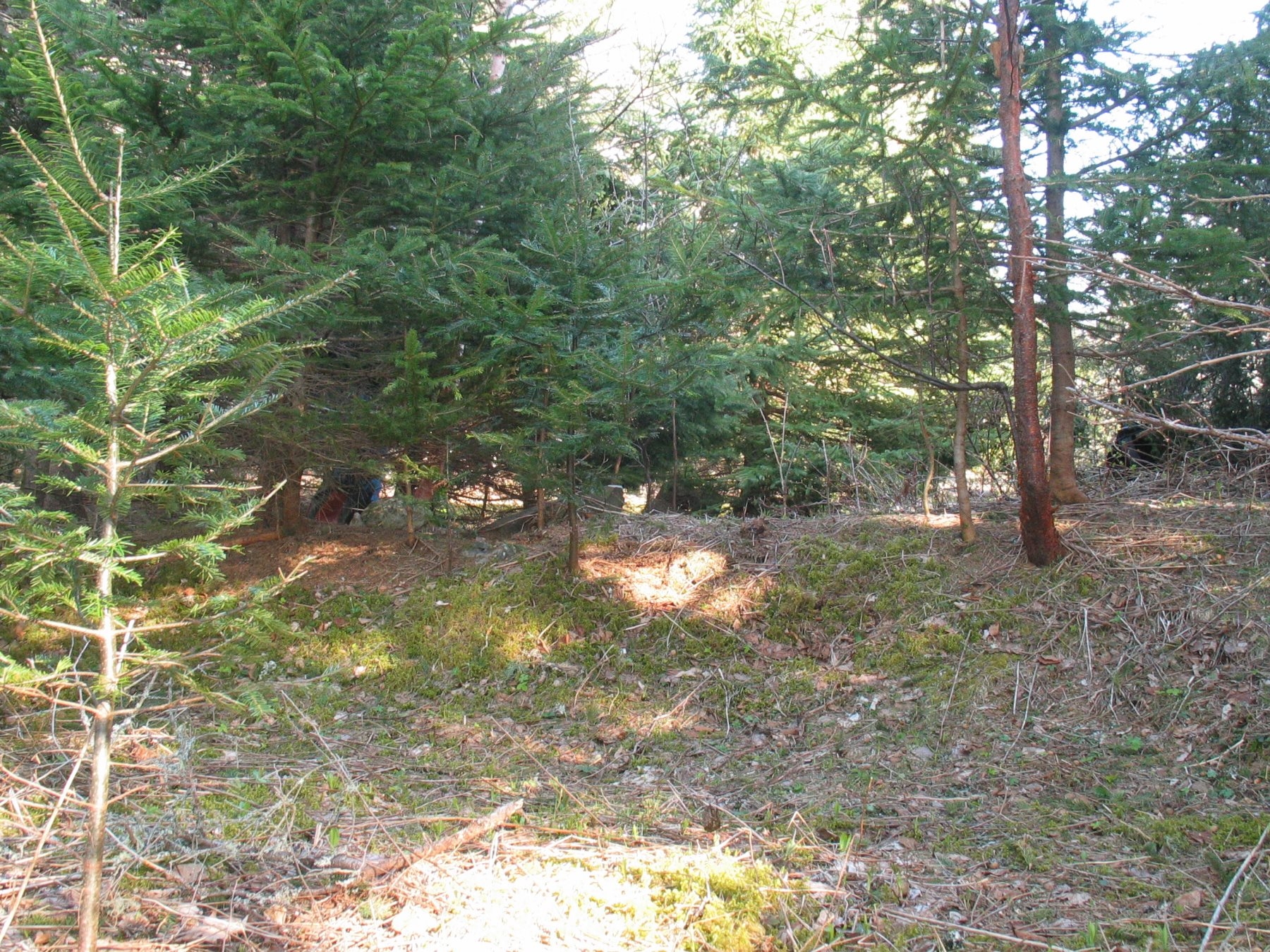
Here is a photo of the site from the north looking south.
Arisaig Back Settlement, May 14, 2008