Bantjes, Rod, “Boars_Back.html,” in Eigg Mountain Settlement History, last modified, 14 August 2015 (http://people.stfx.ca/rbantjes/gis/txt/eigg/introduction.html).
Foundation on the Boar’s Back (Eigg Mountain Settlement History) (Map Location)
The Boar’s Back (Charlie’s own nickname for the site) is a narrow spur of the mountain jutting out to the west. From its farthest end you can see down to the “Gusset” Road and out over the Northumberland Straight to PEI. There is a saddle in the middle of this spur where some unknown family built a substantial house. It is a precarious and lonely site for a farm. Charlie and I spent some time surveying the extent of the former fields which extend some way down over the crest of the hill. We also searched, without success, for the route of the drive to the house.
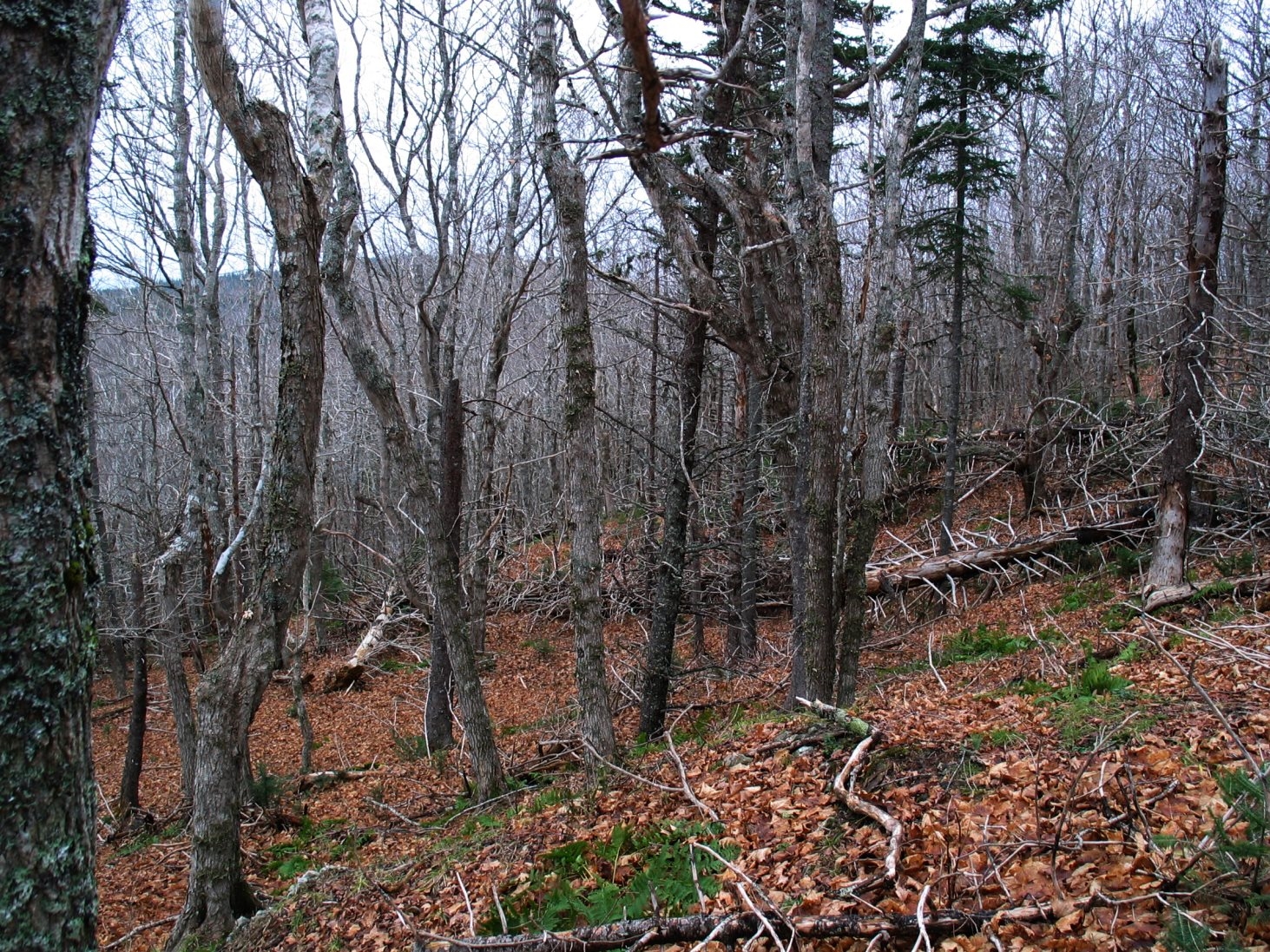
The foundation is a single chambered cellar with some exposed rock. It is built up in a way that suggests it was difficult to dig too deeply for the cellar. It measures 24 by 30 ft (we are pacing rather than measuring these dimensions, Charlie tends to arrive at slightly longer lengths than I). It is oriented at 318 degrees along the longer wall. The entrance to the cellar was in the northwest corner, probably exiting to the north. The house probably faced south. I also suspect the drive may have been in this direction but this is difficult to confirm since the area is choked with windfall from the strong southwest winds.
Below is a photo of the foundation looking south.
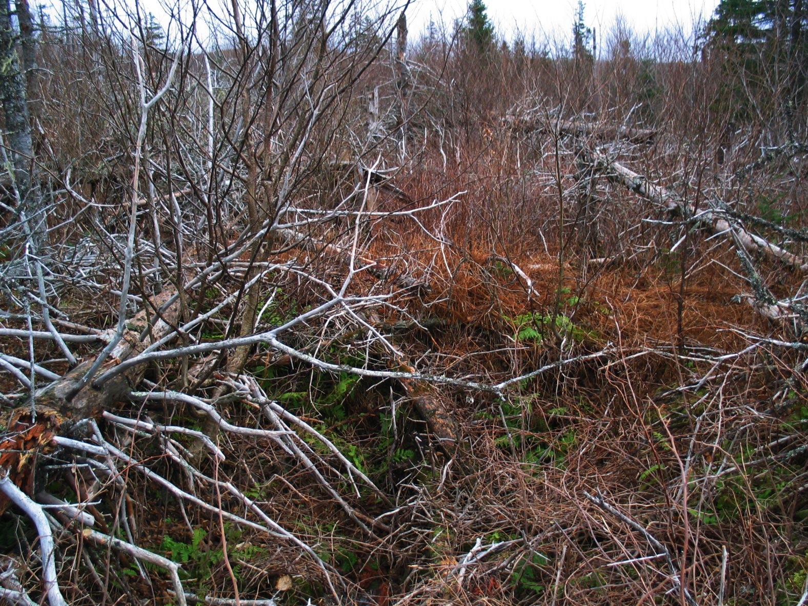
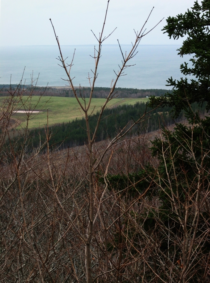
Below is a photo from the western slope on ground that may have been a field. Typically there is more white spruce cover.
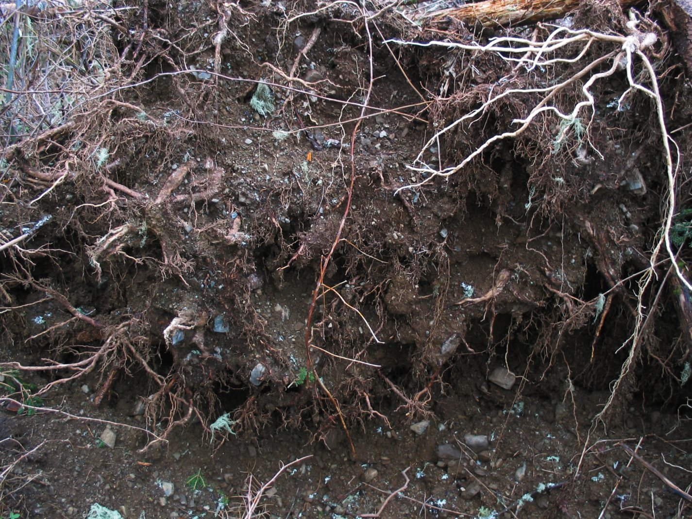
Below is a picture of the roots of a spruce tree blown down recently (probably during the storm of the previous day) showing the quality of the soil. It is full of stone flakes and is spongy but grainy in texture.
Below are two views from the west end of the Boar’s Back. The first is looking northwest towards PEI.
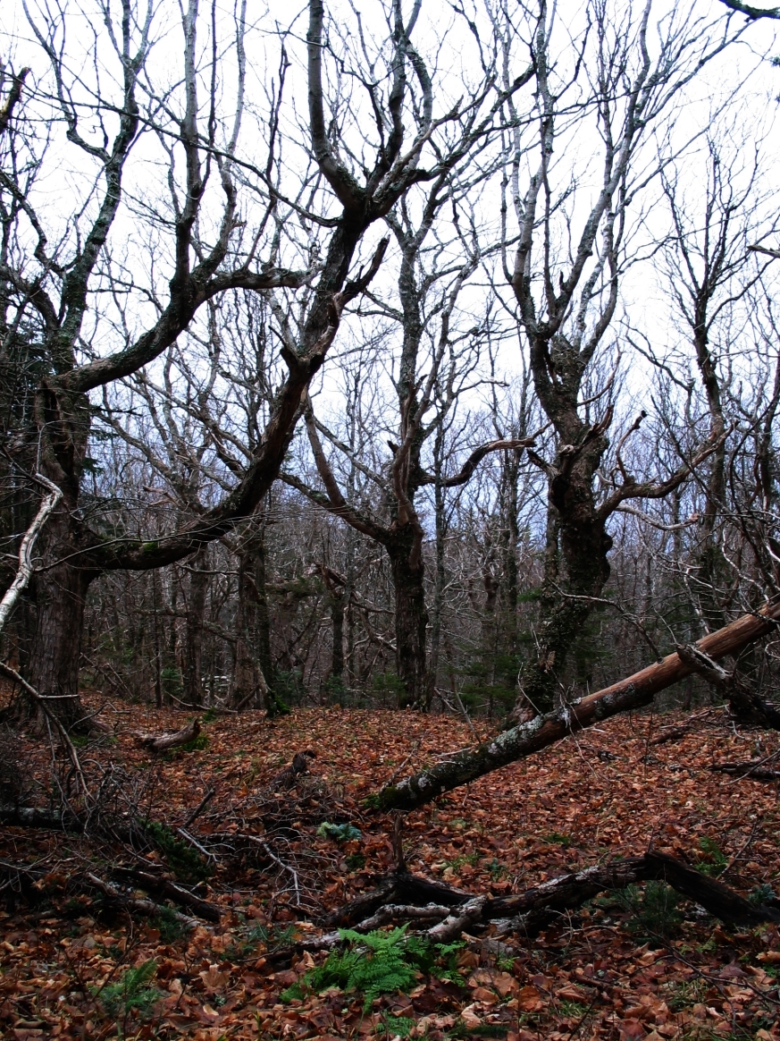
Here are some maple trees, perhaps 100 years old.