Bantjes, Rod, “MacDonald_J.html,” in Eigg Mountain Settlement History, last modified, 14 August 2015 (http://people.stfx.ca/rbantjes/gis/txt/eigg/introduction.html).
MacDonald, Lewis [Loddy] and the “Col”s (Eigg Mountain Settlement History) (Map Location)
This farmstead is marked as J. MacDonald on the Church Map (1879). This property was granted to Angus Gillis who farmed here briefly then moved down to a site east of the Trunk Road. Teasdales (December 2, 2004) say that this was Collin Col’s (i.e. Colin Col MacDonald’s) farm and that the J. stood for Jim Col MacDonald.
The original homesteader was Lewis (Loddy) MacDonald father of Colin MacDonald. Colin had five sons who were known as “Col” (pronounced “Cole”). The Teasdales remember Jim Col, Colin Col and Ronald [pronounced Ranald] Cole. Rev. MacGillivray lists Coll MacDonald, “son of Lody [i.e. Lewis] MacDonald, Arisaig” as one of the later settlers “on the brow of the mountain” (i.e. the northern brow).[1] This site is on the northern brow, so that fits.
This is likely the household labeled #57 on the 1881 census and #46 on the 1891 census. William, Colin, Colin’s wife Mary, and mother Mary are all listed. However, in both cases there is no Jim, but rather a brother Angus (listed as the head of the household). There is only one James listed as head of a household in 1881, but the location is unclear. The Church Map might be mistaken in indicating a “J. MacDonald” here.
The farm house was abandoned in the early 1920s. Between 1920 and 1923 Colin ‘Coll’ MacDonald (son of Colin) died. His widow and children (see photo) left the farm shortly afterward. Kenton Teasdale’s wife’s father came up to camp at Colin MacDonald’s farm in 1962. Her father remembered a barn and farm he had threshed grain at. Born in 1885 he had threshed grain for Colin in 1918 or so [??] (Kenton and Charlie Teasdale, Eigg Mountain, October 16, 2004) [Later, the Teasdales recalled the MacDonalds as having left this site 1914-1919 (Kenton and Charlie Teasdale, Antigonish, November 2, 2004)]
The spot shows up as a white dot on aerial photos from 1945, but apparently there is no building. A tree stump on the edge of the foundation has 38 growth rings, so the building has been gone since at least 1966.
The Teasdales once used this site as a ‘camp,’ or perhaps more as a summer home. They remember the family, including their mother staying at the site long enough to keep a garden for potatoes. Even for a small patch they had to “work around the rocks.” (Bill Teasdale, Eigg Mountain, November 11, 2004).
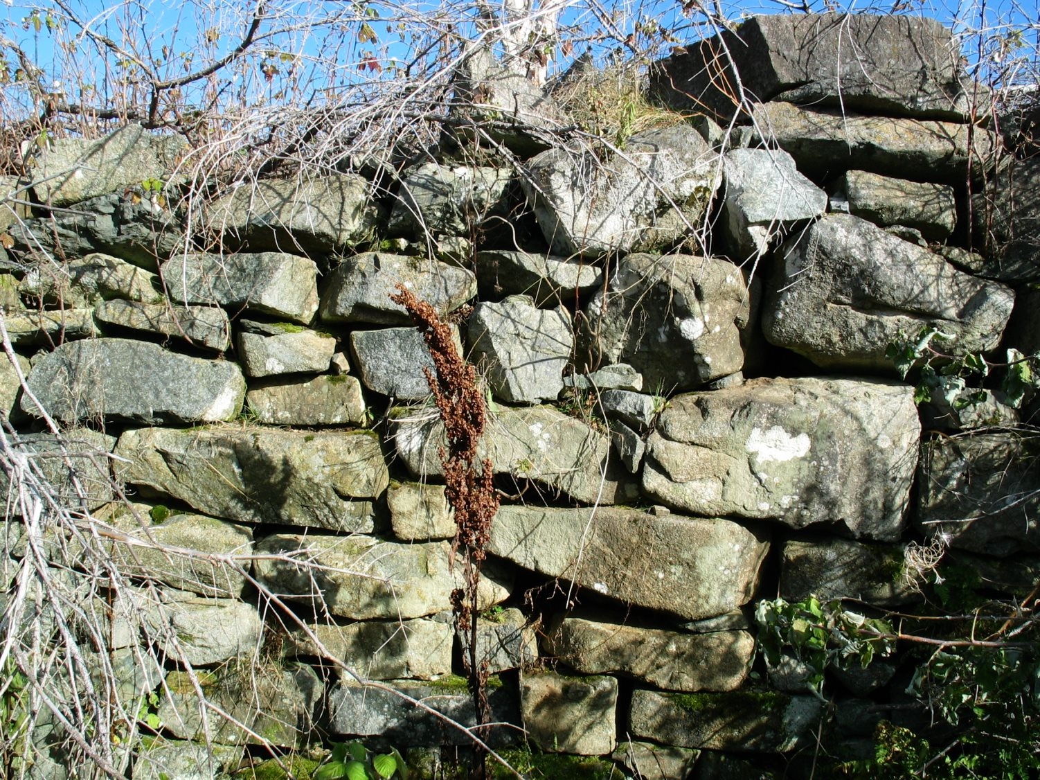
Figure 1 – The walls of the cellar (22 ft. x 12 ft.) are in beautiful condition. Thursday, November 11, 2004. I returned on August 9, 2015 to re-photograph the cellar walls and comment on the quality of the masonry.

Figure 2 – Foundation: extends 16 ft. east from the cellar (total of 28 ft.) Thursday, November 11, 2004.
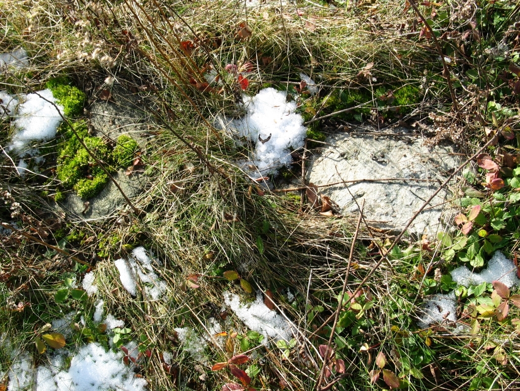
Figure 3 – Foundation also extends 15 ft. from the cellar to the west (probably an extension from the SW corner only). Thursday, November 11, 2004.
Orientation: 57° In other words the building probably faced north east.

Figure 4 – Ripe Gooseberries on the edge of the foundation, August 9, 2015