Bantjes, Rod, “MacDonald_Ronald_Col.html,” in Eigg Mountain Settlement History, last modified, 14 August 2015 (http://people.stfx.ca/rbantjes/gis/txt/eigg/introduction.html).
MacDonald, Ronald Col (b.1853-1891-) (Eigg Mountain Settlement History)
This site is north of the Main Road just off Clyde’s road to the east. Charlie and Kenton Teasdale claim that Ronald Col MacDonald was the pioneer at this site (this would have been no earlier than 1873, unless he built as a teenager). At one time the house served as the community post office (CT/KT). However there are two house sites on the lot (Lot 275). The northern site north of Rory’s Lake Brook, is attributed to (young) John MacIsaac. He is the original grantee in 1834 along with Robert MacIsaac. Rory MacIsaac, son of Young John, appears to have taken over the deed in 1859 to 1891. There is a Rory MacIsaac in the 1891 census in the vicinity.
This house is further south, close to the position indicated on the 1893 Geological Survey map (which also indicates a building, probably a barn, slightly further north as well as two buildings at the farm site north of Rory’s Lake Brook). A Ranald MacDonald is listed in the 1891 census in roughly this vicinity. Whatever the arrangement was the lot appears to have been owned by the MacIsaacs. Also, a J. MacIsaac is indicated at this site on the Church Map (1879) (i.e. south of Rory’s Lake Brook), when other records make it appear that Rory was the deed holder.
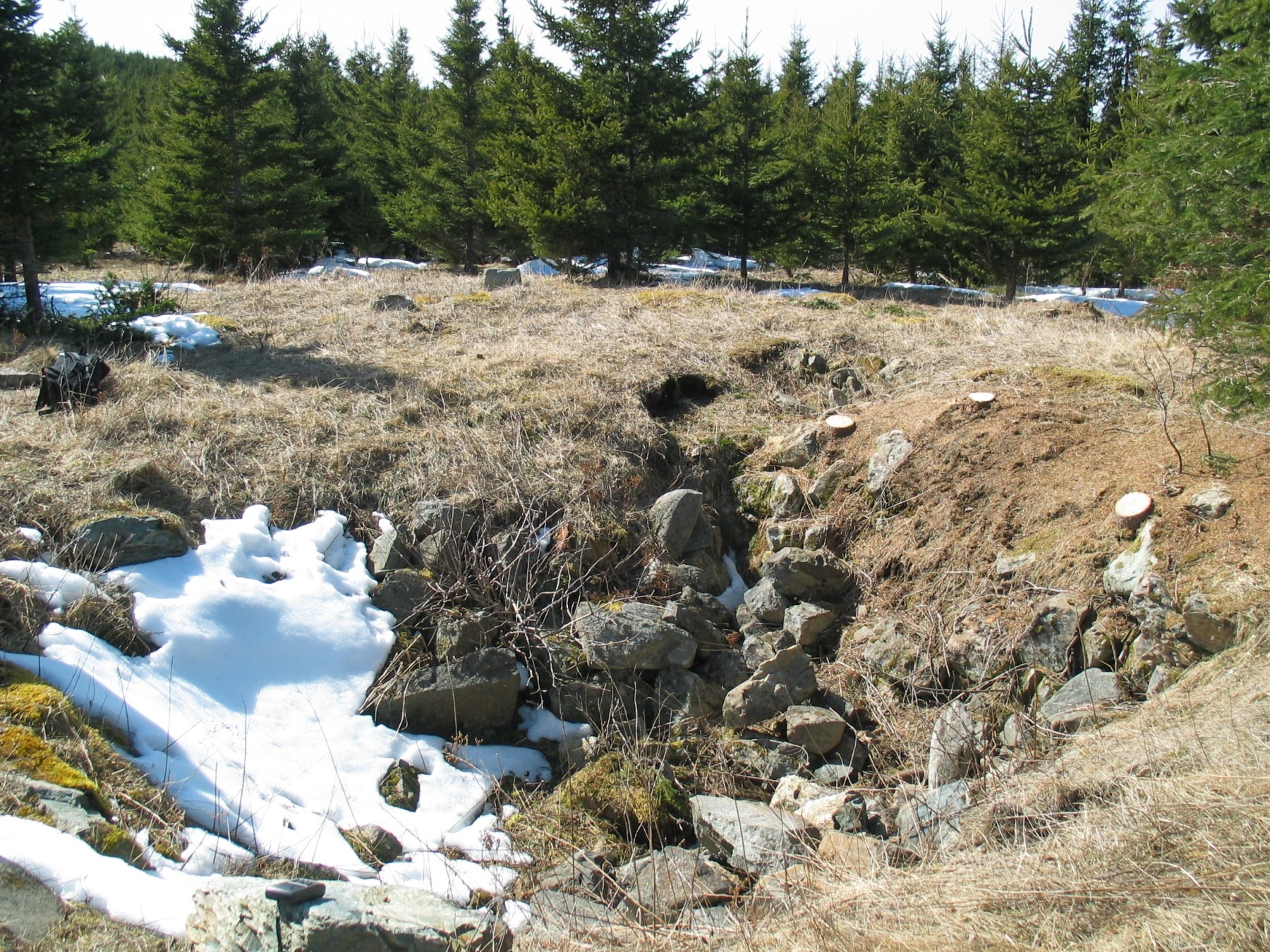
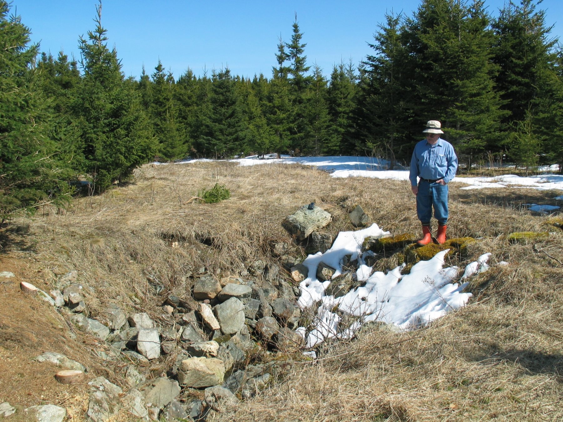
The main footprint of the house is 26(N) X 28(W) ft. The cellar is 18(N) X 15(W) ft in the SE corner with stairs leading north out of the north-west corner. Oddly, the stairs appear to have been contained within the building walls which extended north of the cellar. There was probably a 10(N) X 12(W) “porch” extending west at the south-west corner of the building. The long wall is oriented at 76 degrees (i.e. it runs roughly east-west).

Figure 1 – Cellar, looking north-west toward the cellar stairs.

Figure 2 – Cellar looking east-south-east.
This is one of the few sites where we have located a surviving well. This one appears to be shallow, stopping at about 3 feet at bedrock.