Bantjes, Rod, “MacDougall_Mason.html,” in Eigg Mountain Settlement History, last modified, 14 August 2015 (http://people.stfx.ca/rbantjes/gis/txt/eigg/introduction.html).
H. (Mason) MacDougall (Eigg Mountain Settlement History) (Map Location)
An H. MacDougall is indicated on this site northwest of the MacQuarrie Stillwater on the Church Map of 1879. This is probably Hugh MacDonald who move the house or parts of the house to a site on Maple Ridge.
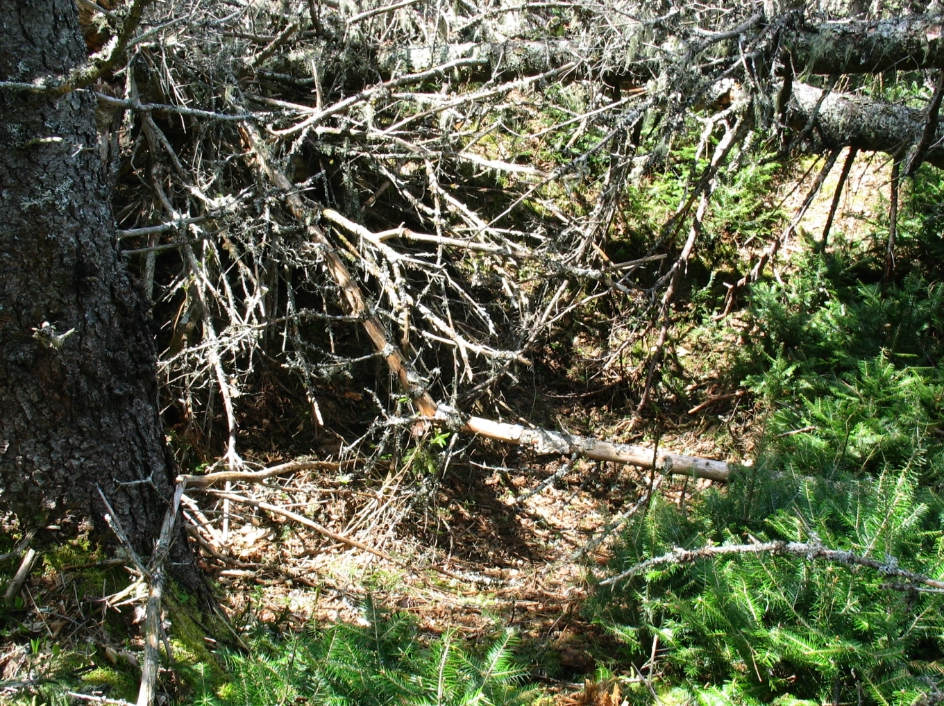
The cellar measures 16 by 20 feet with little evidence of rock walls. It was likely a log house. The long wall was oriented at 12° almost due north-south. It likely faced either south or west toward the Stillwater.
The site is well hidden by blow-downs. This shot is looking north over the cellar.

May 23, 2007