Bantjes, Rod, “MacEachern_Laughie.html,” in Eigg Mountain Settlement History, last modified, 14 August 2015 (http://people.stfx.ca/rbantjes/gis/txt/eigg/introduction.html).
MacEachern, Laughie (b. 1811 – 1880 – d. ...) (Eigg Mountain Settlement History) (Map Location)
Laughie MacEachern’s house was on the edge of a ravine flowing down towards Power’s Brook. The foundation is banked quite high. It measures roughly 20 ft by 28-30 ft and is oriented at 48 degrees. It likely faced east down towards Powers Brook, with the cellar entrance on the west side on the northwest corner. The footprint is small and square, leading Charlie Teasdale to speculate that it was a two-story house. The land around has only a thin cover of soil.
Kenton Teasdale was told that Lauchie moved the location of his house when surveyors came around 1842 and informed him that he was east of the property line. However, it is unclear where the original location was. Also, Albert McKean in his 1912 survey of lands reconveyed to the Crown, seems to think that Laughie MacEachern lacked title to the land he eventually occupied.
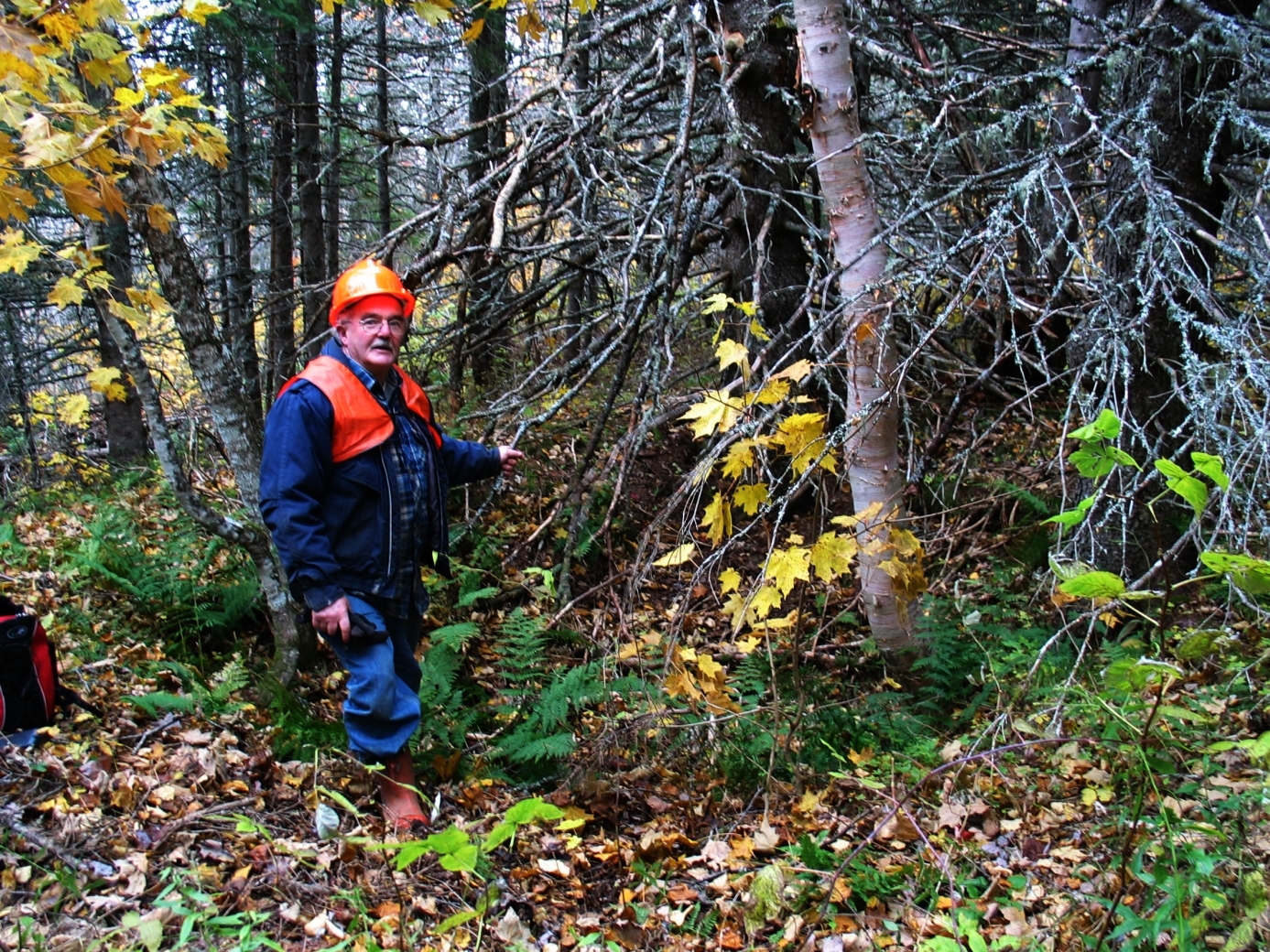
Figure 1 – Charlie Teasdale standing to the west of the foundation. The camera is looking east. This is how you approach the site from the ATV trail. Laughie MacEachern was Charlie’s great-great grand uncle.
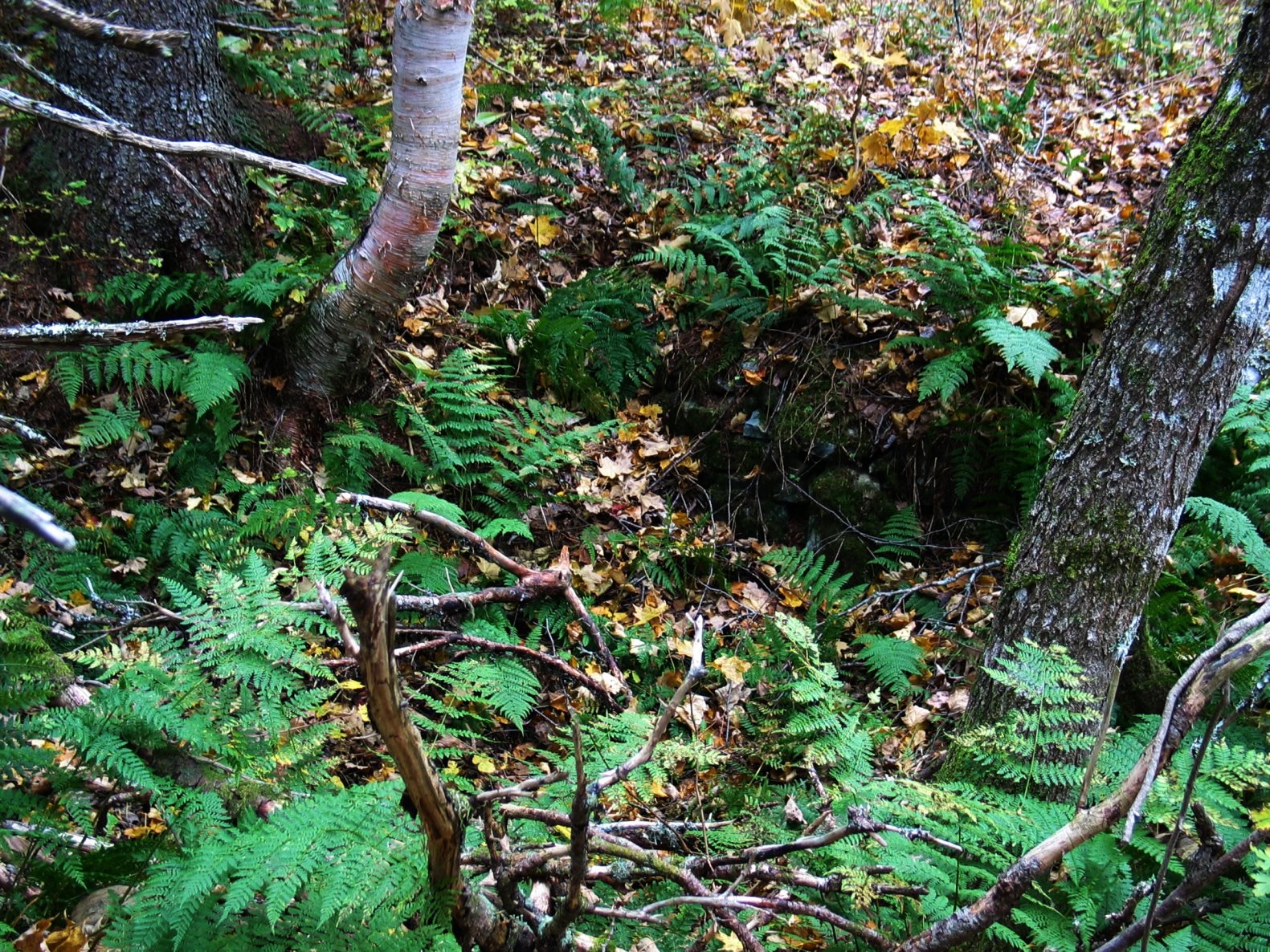
Figure 2 – A view of the foundation looking West.
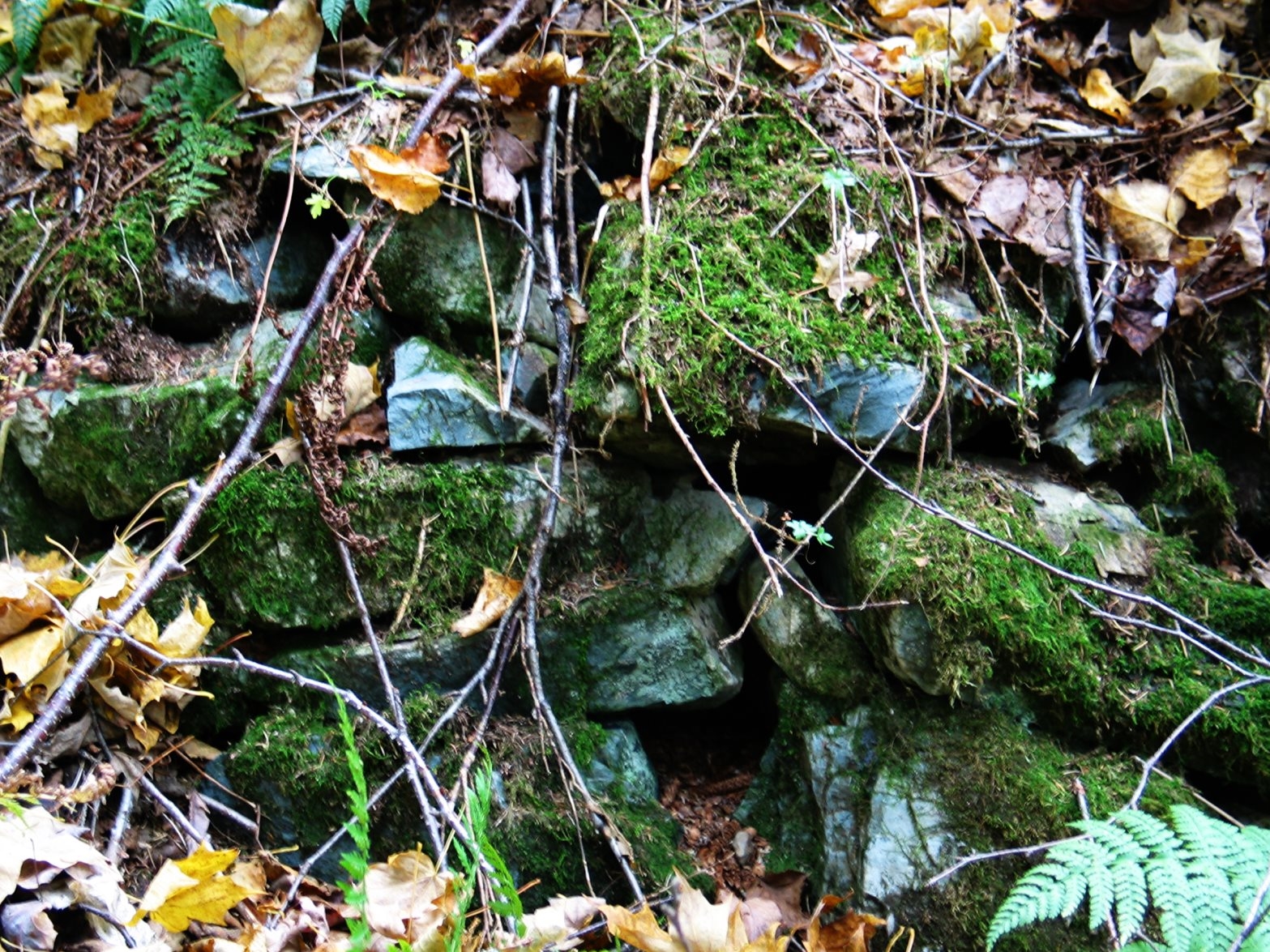
Figure 3 – Close-up of the only exposed rock in the cellar wall. This is the same hard-to-build-with material used on Angus Malcolm Fraser’s foundation up the hill.