Bantjes, Rod, “McCart_Henry.html,” in Eigg Mountain Settlement History, last modified, 12 October, 2025 (http://people.stfx.ca/rbantjes/gis/txt/Introduction.html).
Henry McCart (Eigg Mountain Settlement History) (Map Location)
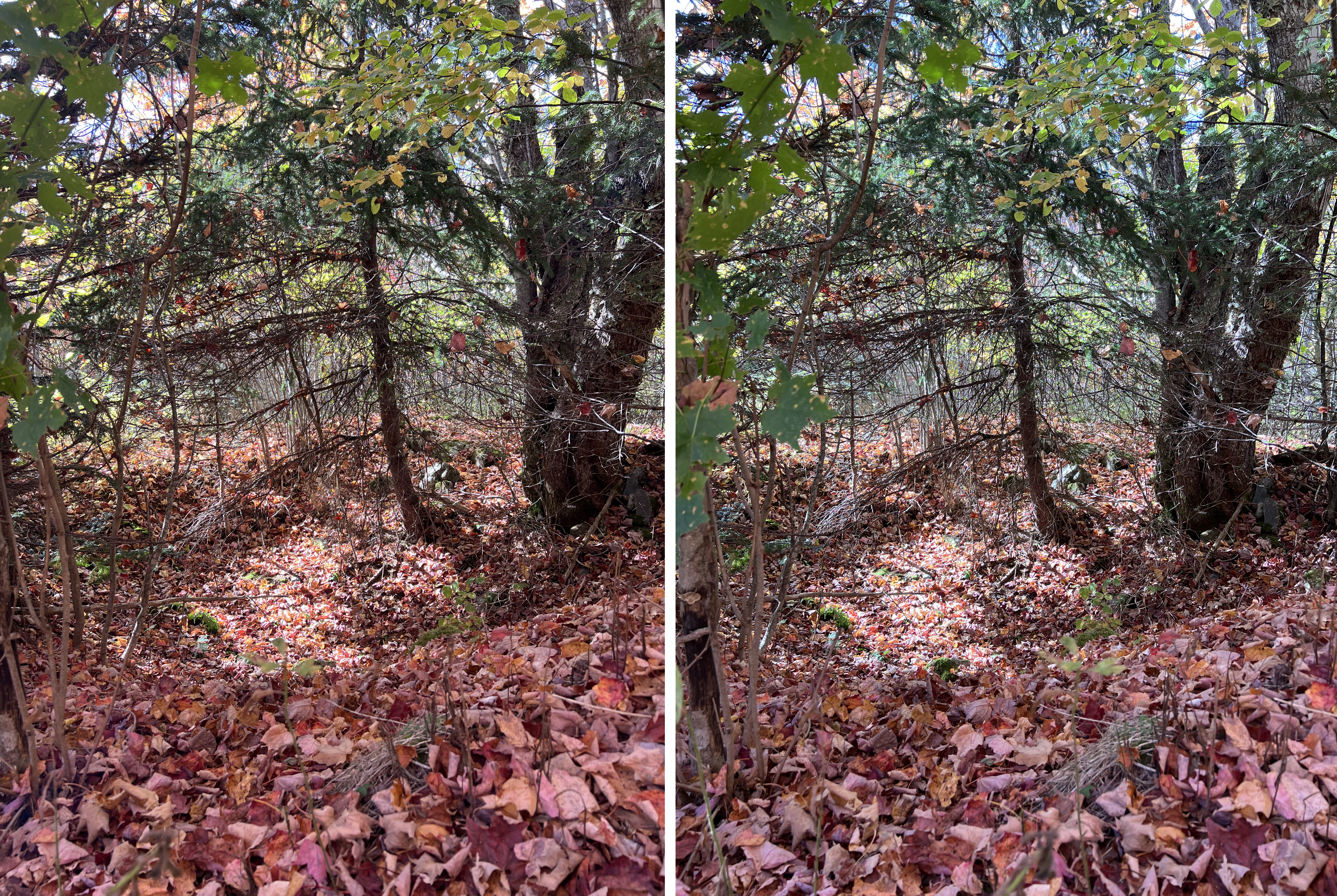 |
Figure 1 – Foundation on the McCart Grant. |
| Looking west across the cellar. The mound in the foreground is part of the collapsed chimney. |
Henry McCart was granted land in 1829 along with others of the "Irish settlement" on the southwest corner of Eigg Mountain. They may have been a group of friends from Kilkenny (it would therefore be interesting to see where McCart was from). There is little further record of McCart so the pioneer life on Eigg Mountain may not have agreed with him.
There is no local memory of this site, but in 2025, with the help of the newly available tool of Lidar, I located this foundation on the McCart Grant. It is on the road towards Kickham and the McGillivrays, who were named with him on the 1829 grant. The site is on a small knoll now growing up with small hardwood over old white spruce stumps. The hardwood is a sign that it has been long abandoned.
The foundation and cellar are relatively small. The cellar measures approx. 15 x 15 ft. (paced) and the foundation is about 30 x 18 ft with the long side oriented SW 240°.