Robert O’Brien was the first grantee of this land and the builder of the house. McGees may have taken over property (or perhaps one to the southwest). (Charlie Teasdale, November 2, 2005)
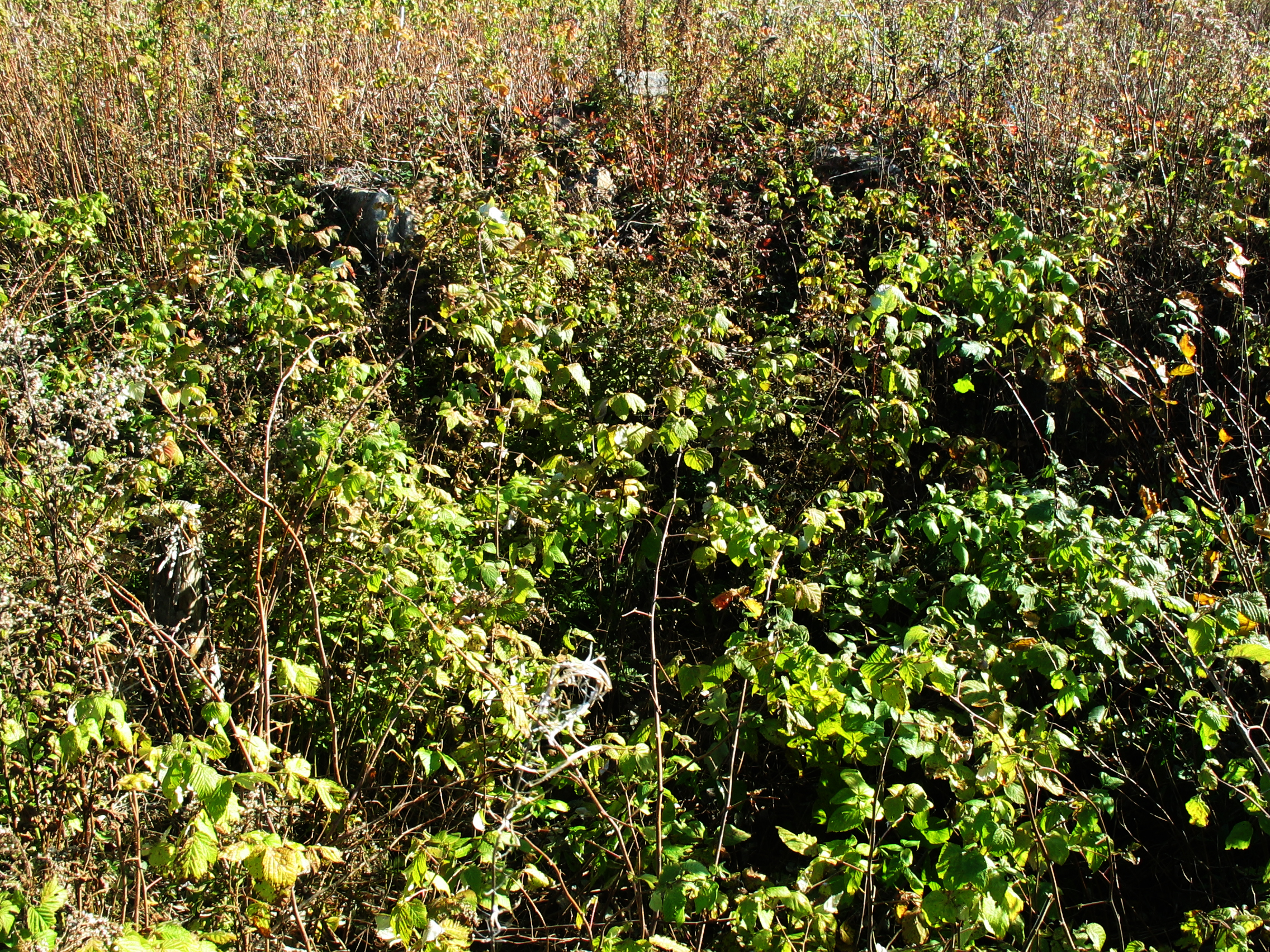 |
Figure 1 – Overgrown Foundation |
| This photo is looking southwest across the cellar. It is very difficult to see the structure. |
The foundation of this house stands at the corner of two logging roads in a logged out area. Some of the stumps were around 50 years old when cut, perhaps ten year ago. Eigg Mountain is clearly visible to the north of the house site. There is very little evidence of rock piles or rock walls.
The southeast wall of this foundation is the clearest. It is oriented 47 degrees, in line with the road which is to the northwest. It likely faced the road (i.e. north-east). The dimensions were difficult to measure accurately with a tape so I paced them out. The southeast wall is 21 or 22 feet. The northeast wall is about 23 to 25 feet. The cellar pit is about 12 foot square and closer to the northwest and northeast walls. The whole structure appears to have been banked up quite high as though this were easier than digging down.
October 30, 2005