Bantjes, Rod, “MacDonald_J_3,” in Eigg Mountain Settlement History, last modified, 8 August 2015 (http://people.stfx.ca/rbantjes/gis/txt/eigg/introduction.html).
J. MacDonald (3 of 3) (Eigg Mountain Settlement History) (Map Location)
This is at a second site on the Gault Road marked “J. MacDonald” on the Church map, to the east of another J. MacDonald. In 2015 a large field to the south of the house remained open containing the footprint of the barn and a small cellar, probably a root cellar in the woods to the southeast.
The house overlooked a field sloping gently towards a stream to the south. The size of the house and barn, as well as the quality of the overgrown fields, suggest that it was a prosperous farm.
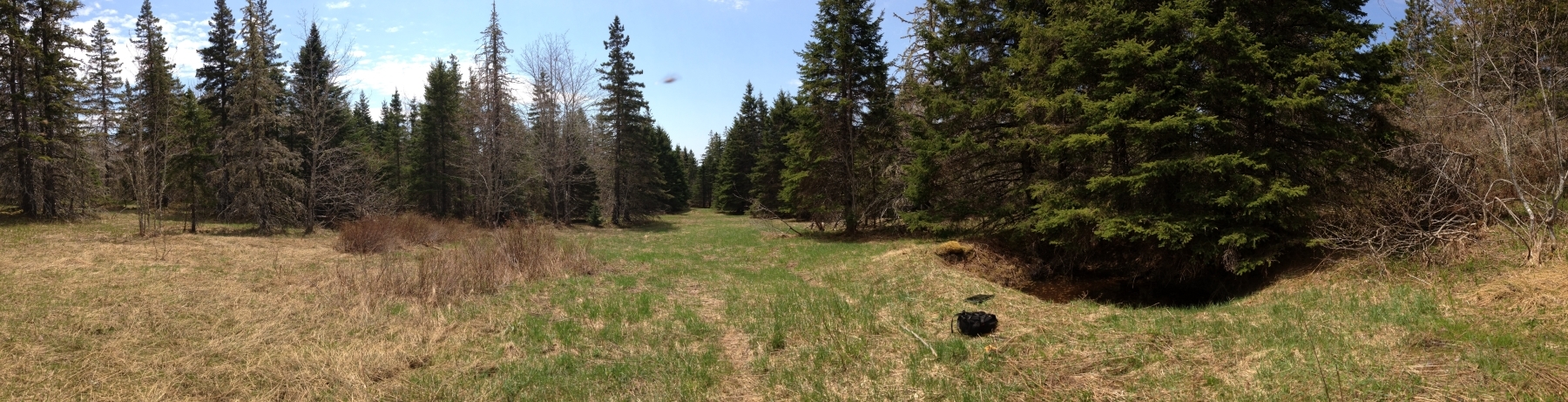
Panorama with the centre facing south towards the barn and the house to the right under the spruce tree. This is a clearing deep in the bush that apparently has not been logged since the farm was abandoned at least 70 years ago. Why does it stay open like this?
The foundation measures 27 by 28 ft. with the 28 ft. side running north-south and a cellar dug only in the east half.
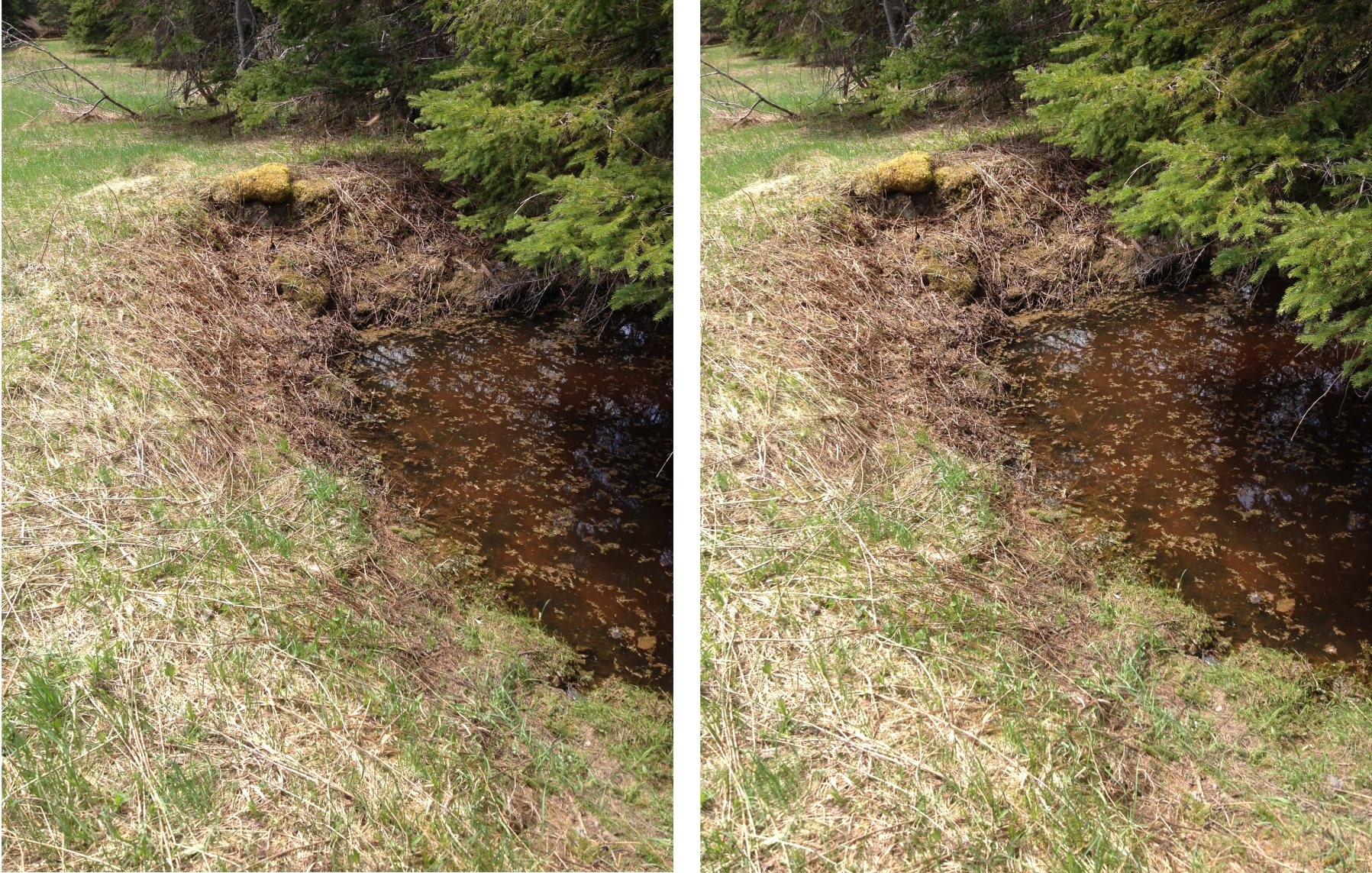
The east wall looking south.
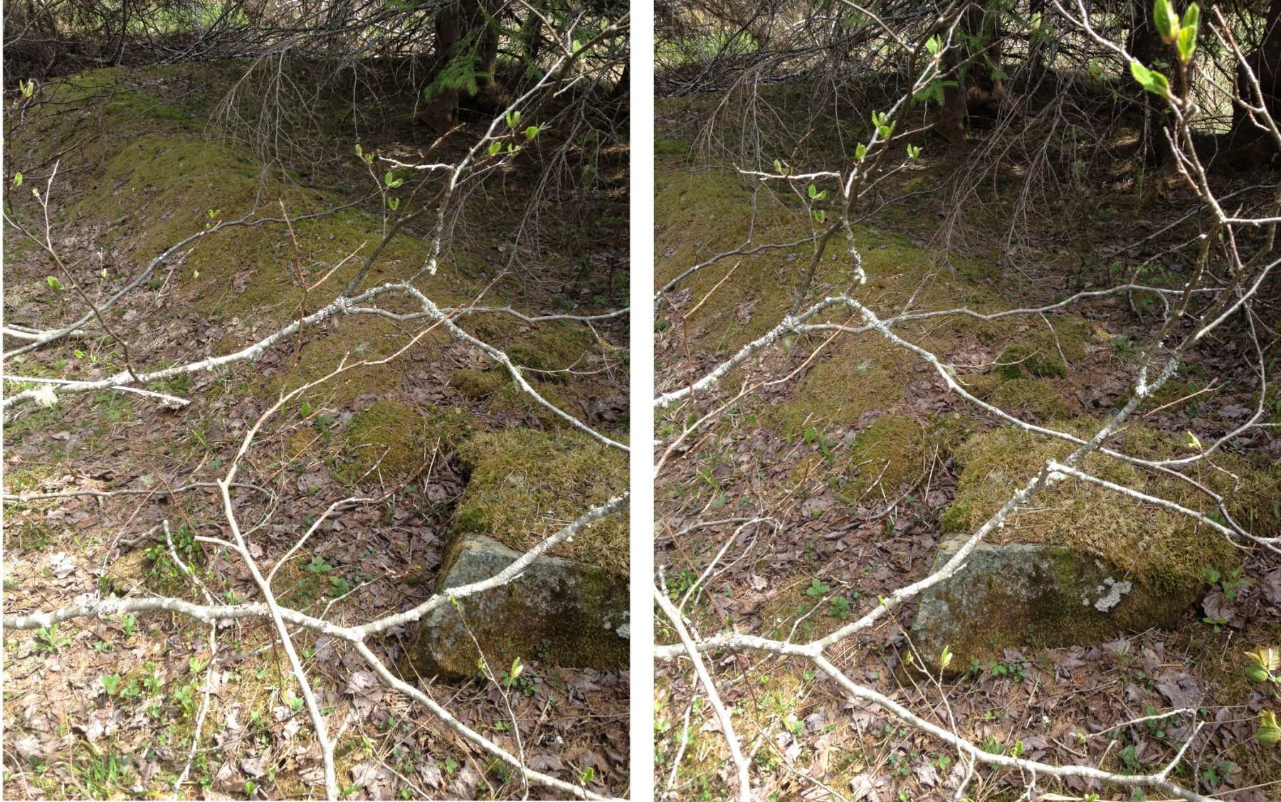
The west wall looking north.
May 25, 2015