Bantjes, Rod, “Fraser_A_S.html,” in Eigg Mountain Settlement History, last modified, 5 April, 2024 (http://people.stfx.ca/rbantjes/gis/txt/eigg/introduction.html).
Fraser, Angus Donald (Eigg Mountain Settlement History) (Map Location)
Kenton Teasdale remembers an Angus Fraser either to the east or to the west of Ron Fraser. This location is close to the “A. Fraser” of the Church map. There is a building located almost exactly on this site on the 1893 Geological Survey Map. Angus Fraser is listed as the owner of the full 200 acre lot on the 1854 land grant description for John Smith.
There is a write-up on this household of the Fraser Family in the Casket (October 26, 2016, p.2) documenting the sons’ service in the First World War. According to the article, Angus D. Fraser married Flora MacDonald and had 12 children (13 are listed in the 1901 census [household #45]). Flora, according to the article, “moved the family to New Glasgow, where she later passed away in 1933.”
Their recollection that there was more than one Fraser on this 200 acre lot makes sense. When Angus D. Fraser willed his portion to his son Alex, it included only 50 acres.
Charlie and I located the foundation (#634) on May 3, 2008. The cellar measures 16 by 20 ft. The 20 ft side is oriented south at 277 degrees. The foundation walls appear to have extended east making that wall 24 ft.
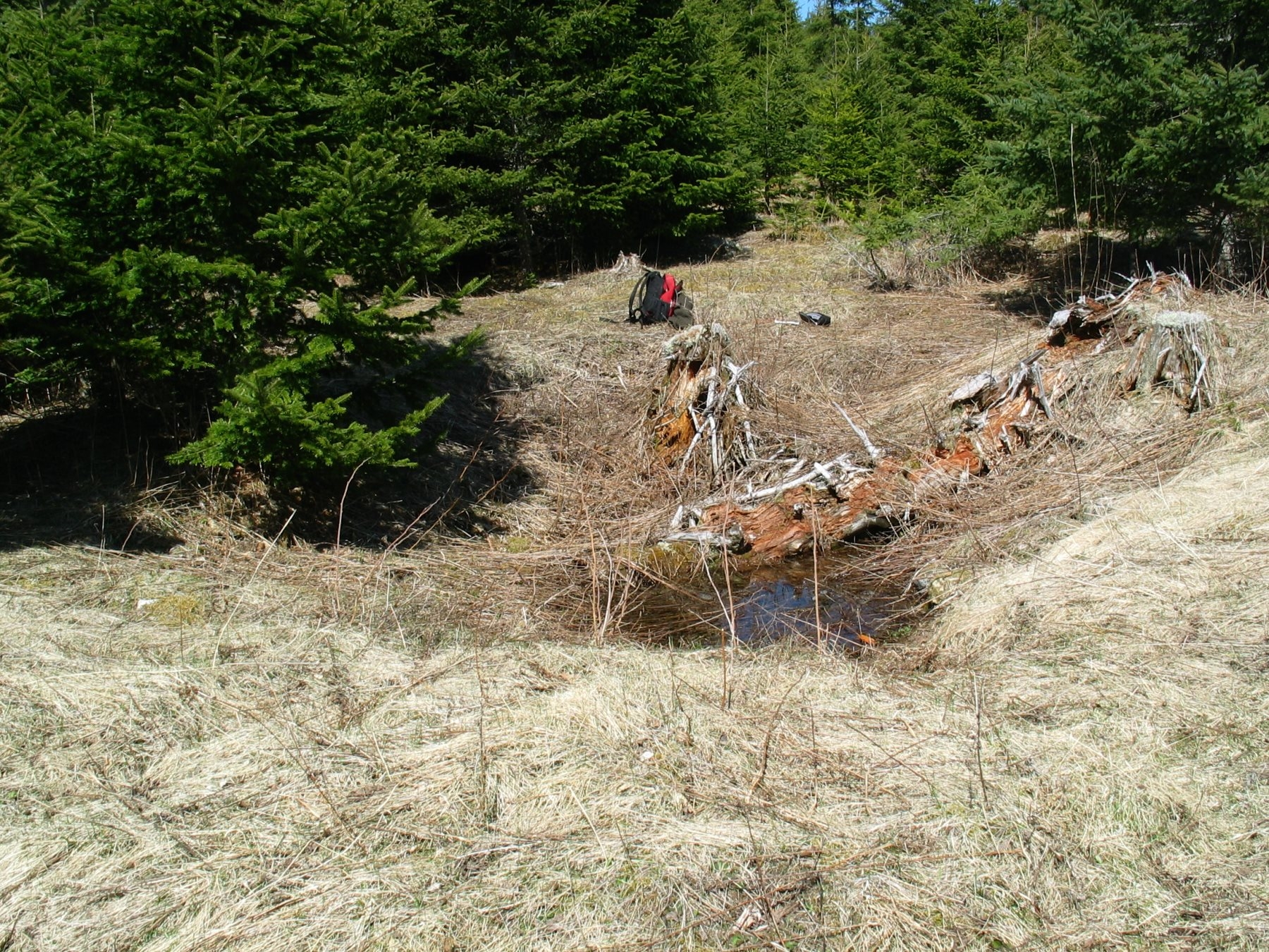
The following photo is looking south across the cellar. The stump, growing over the edge of the cellar Charlie estimates to be over 50 years old. The ground slopes gently to the south toward the Dalton Drive. Charlie thinks they likely accessed the house directly from the main Road rather than the Dalton drive.
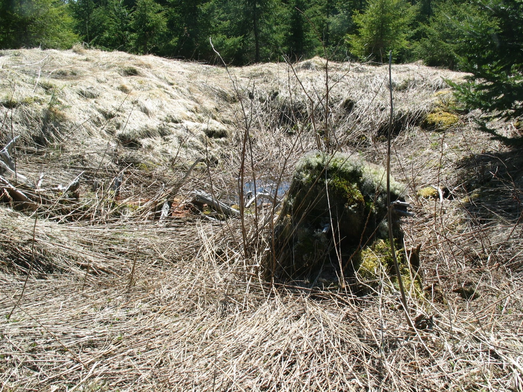
The following is a picture looking north over the cellar.
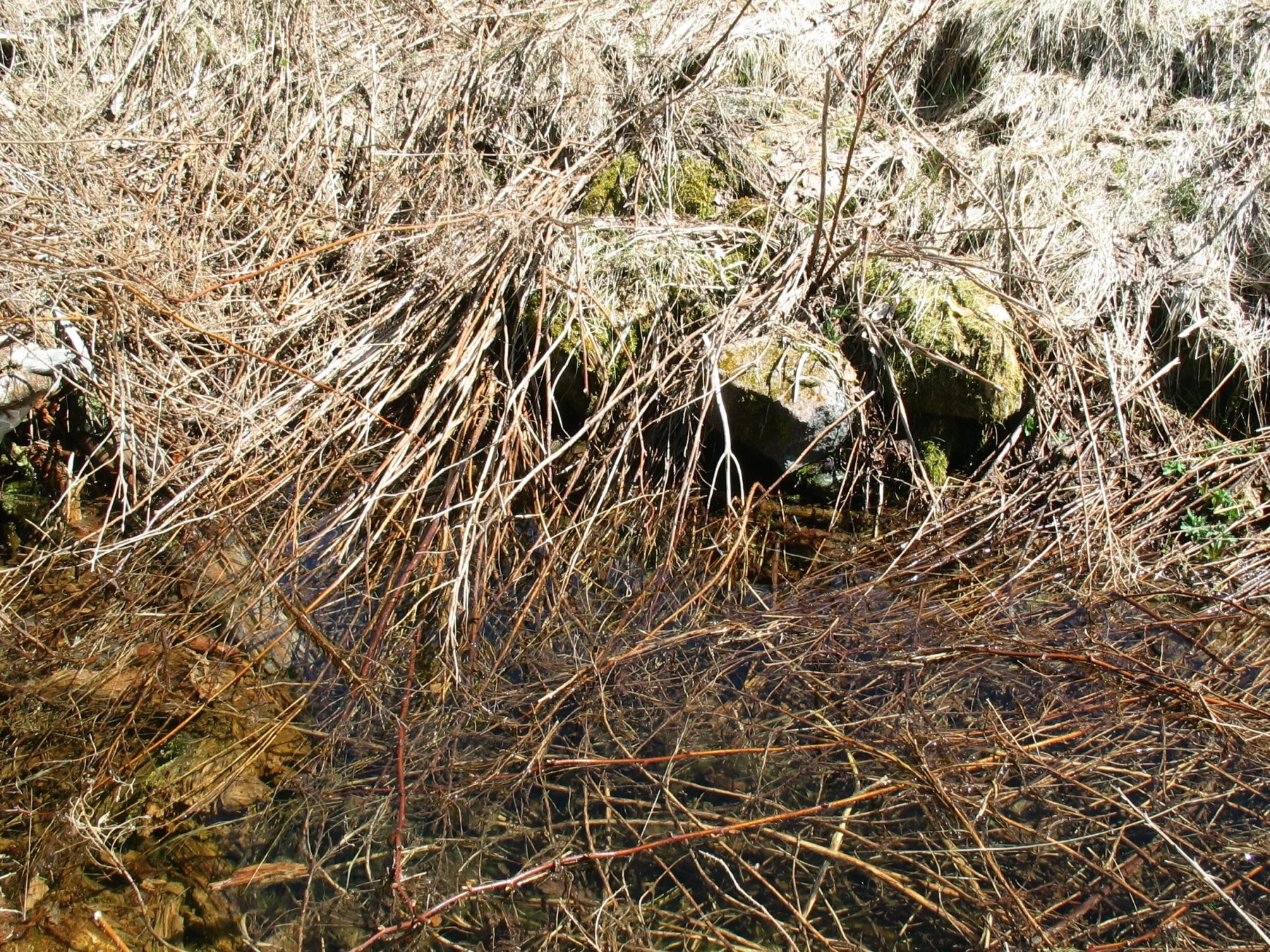
The next picture is taken in the cellar showing some of the few exposed stones.