Bantjes, Rod, “Document name.html,” in Eigg Mountain Settlement History, last modified, 29 March 2024 http://people.stfx.ca/rbantjes/gis/txt/Introduction.html.
Corner (Eigg Mountain Settlement History)
This house was on an old road leading north west of the Lewis Road according to the 1893 Geological Survey map. There is no surviving memory of who occupied it, but it is close to two houses attributed to MacDonalds. The Church map (1879) seems to indicate a “J. MacDonald” at this site. To the southwest is a site that was originally attributed to William Coll MacDonald. To the north west a site attributed to his brother Jim Coll MacDonald, now attributed to Angus MacDonald. The three cluster so closely on two properties that they were likely occupied by relatives. It is likely household #44 on the 1891 Census with Angus MacDonald (age 72) as head. The Teasdales recall the old people insisting that two 100-acre lots belonging to brothers Angus and John, with Angus being on this lot closer to Colin son of Lewis. Records corroborate this attributing the lot to the west (with the two other houses) to John MacDonald in 1858. The Church map has the relationship reversed with “J.” here and “A.” to the west.
To the north is a barn (not indicated on the 1893 map). To the east is what looked like the foundation of a small shed that seems corroborated in the 1945 aerial photo.
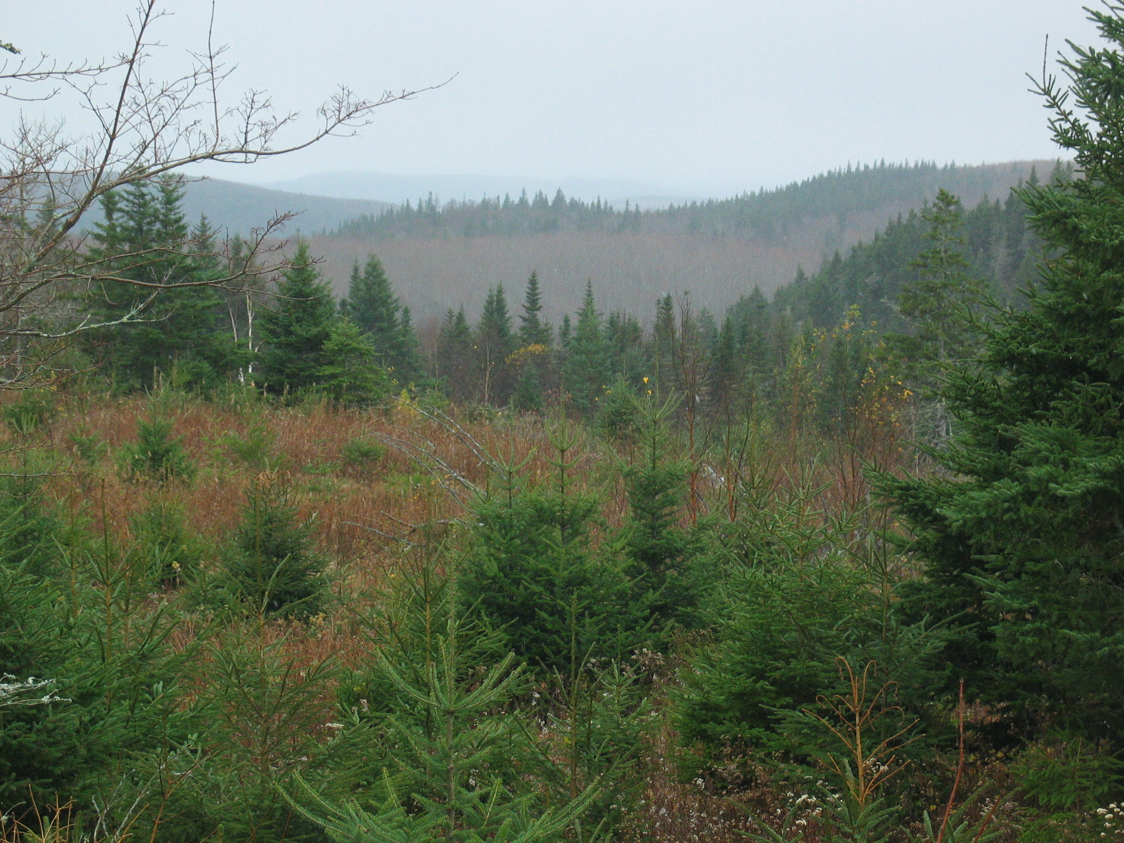
Figure 1 – The view from the front of the foundation looking south west.
The cellar is 30 ft by 16 ft with the long side oriented 311. There is evidence of a “porch” off the south west side measuring 14 by 14 ft. There is some exposed rock on the south west wall of the cellar (next photo).
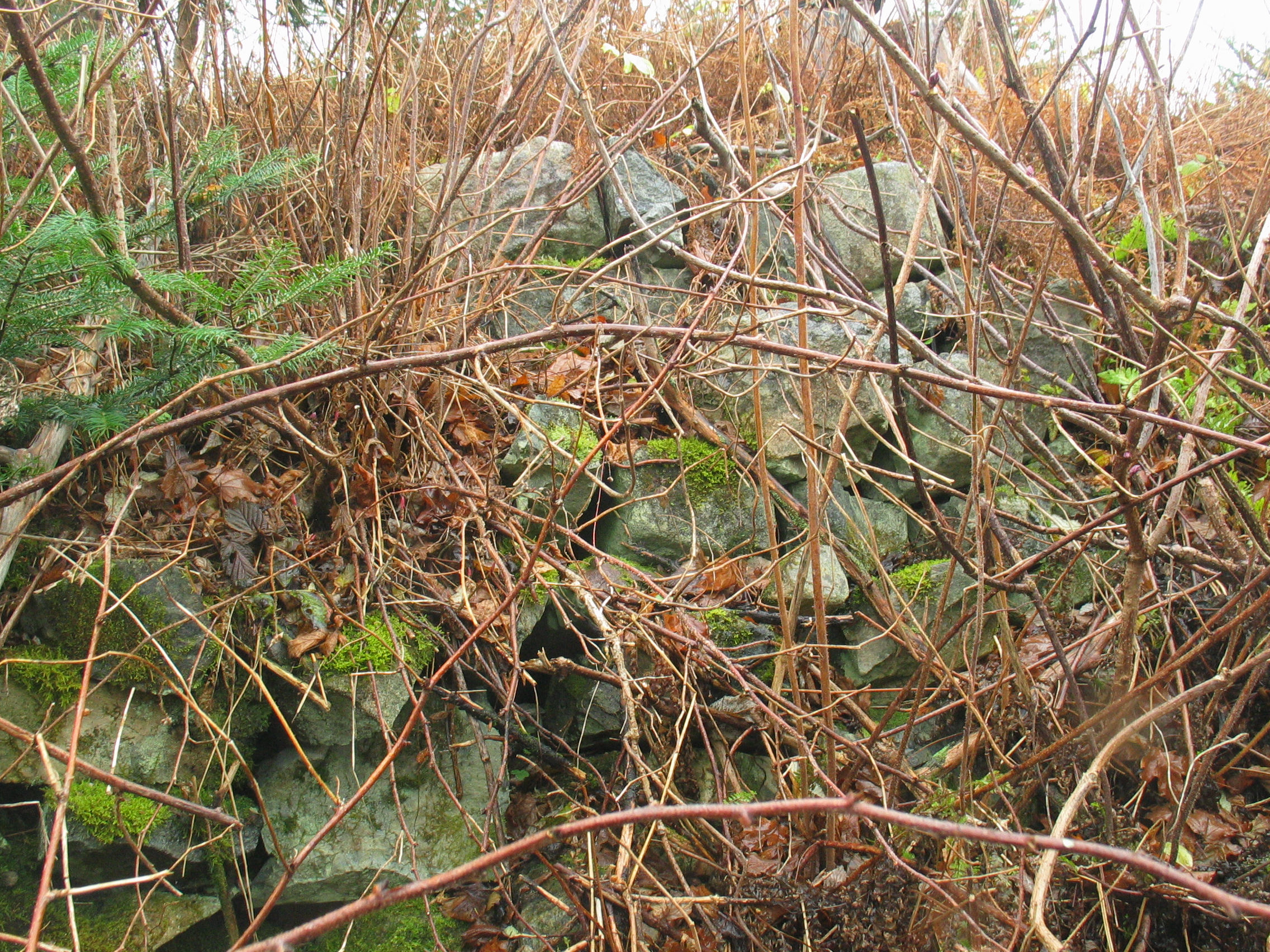
Figure 2 – South-west wall of the cellar
Below are the fellows that found it: Charlie’s son Donny on the left; Charlie’s brother Jack on the right.
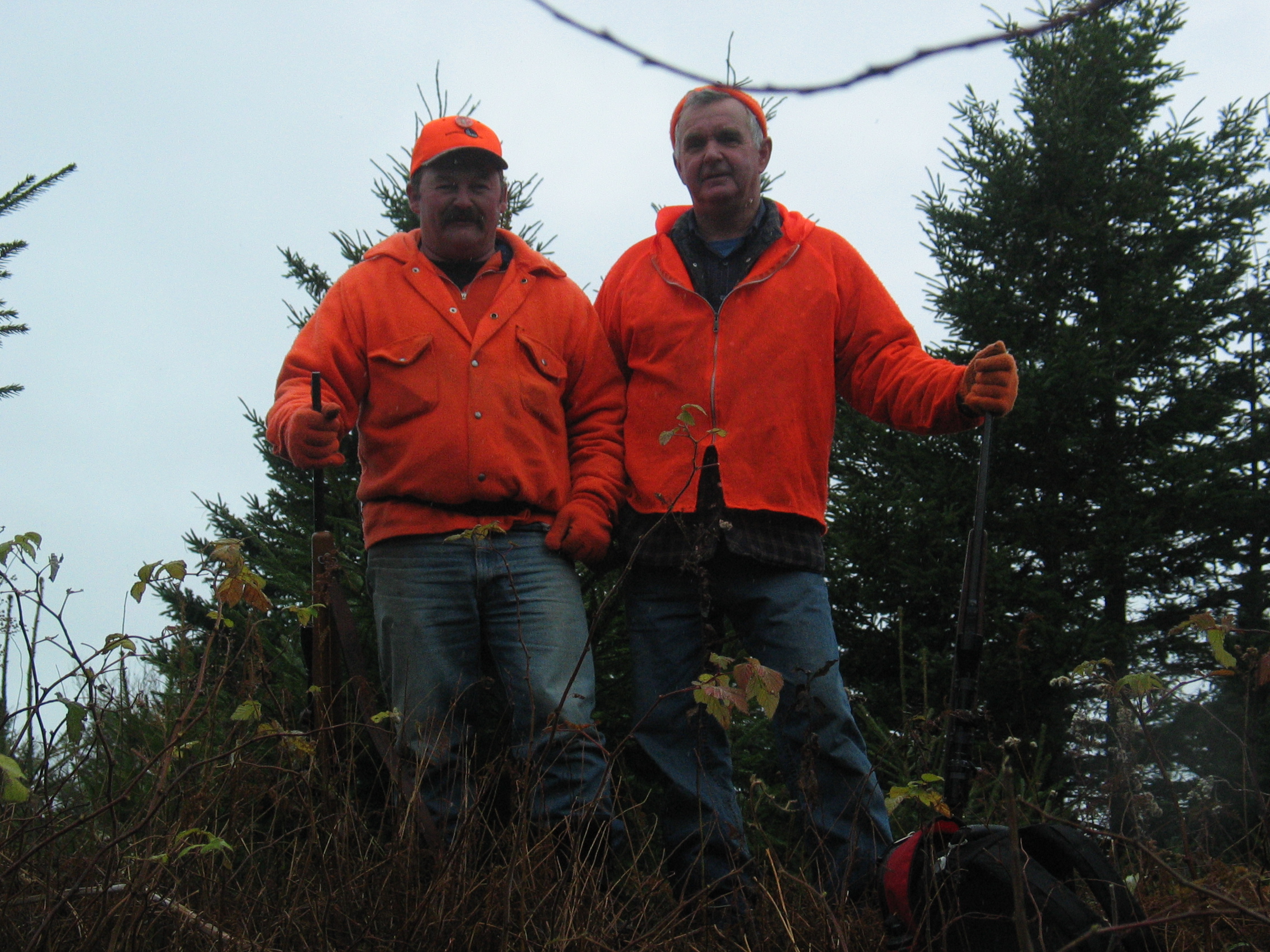
Figure 3 – Donny and Jack Teasdale, hunting season, 2007.
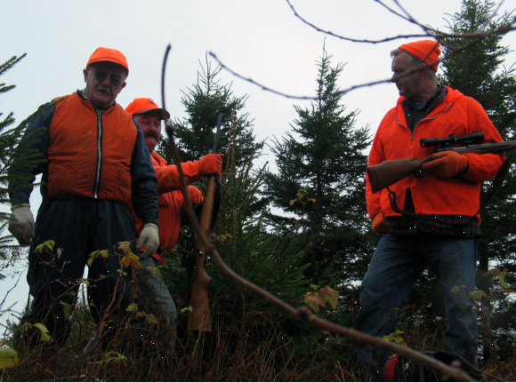
Figure 3 – Charlie, Donny and Jack Teasdale, hunting season, 2007.
Eigg Mountain, November 10, 2007