Bantjes, Rod, “MacDonald_Jim_Coll.html,” in Eigg Mountain Settlement History, last modified, 29 March 2024 http://people.stfx.ca/rbantjes/gis/txt/Introduction.html.
MacDonald, Jim Coll (Eigg Mountain Settlement History) (Map Location)
It is likely household #45 on the 1891 Census with John MacDonald (age 79) as head. The Church map, 12 years earlier, lists an “A. MacDonald” roughly at this site. (see census notes).
In 2004 the Teasdales attributed this site to Jim Coll MacDonald, reporting that Jim ‘Coll’ MacDonald was the brother of Colin and Ronald, all sons of Lewis (Loddy) MacDonald one of the pioneers [they would have been sons of Colin son of Lewis]. (Interview, Kenton and Charlie Teasdale, Antigonish, December 2, 2004). Jim Coll married MaryAnn [Malcolm Ranald] Fraser (b. February 15, 1866) granddaughter of old Ranald Fraser the pioneer.
The house was on a knoll. The remaining foundation measures approximately 24 ft north-south and 25 ft east-west. It is oriented 280 degrees, close to the cardinal points (west is 270). The cellar entrance may have been at the south wall. The front may have faced west looking down the hill towards a stream. East would be towards the current road; however this did not exist when the building was built (Franks Road north of the intersection with Lewis Road [Lewis Crossing] was built in 1959.)
“J.” John MacDonald on Church map (brother of Angus son of Rory)(November 2, 2005). Now that a third foundation has been located near here, I think this is likely “A.” or Angus on the Church map (1879) but in fact belongs to “J.” or John (November 10, 2007).
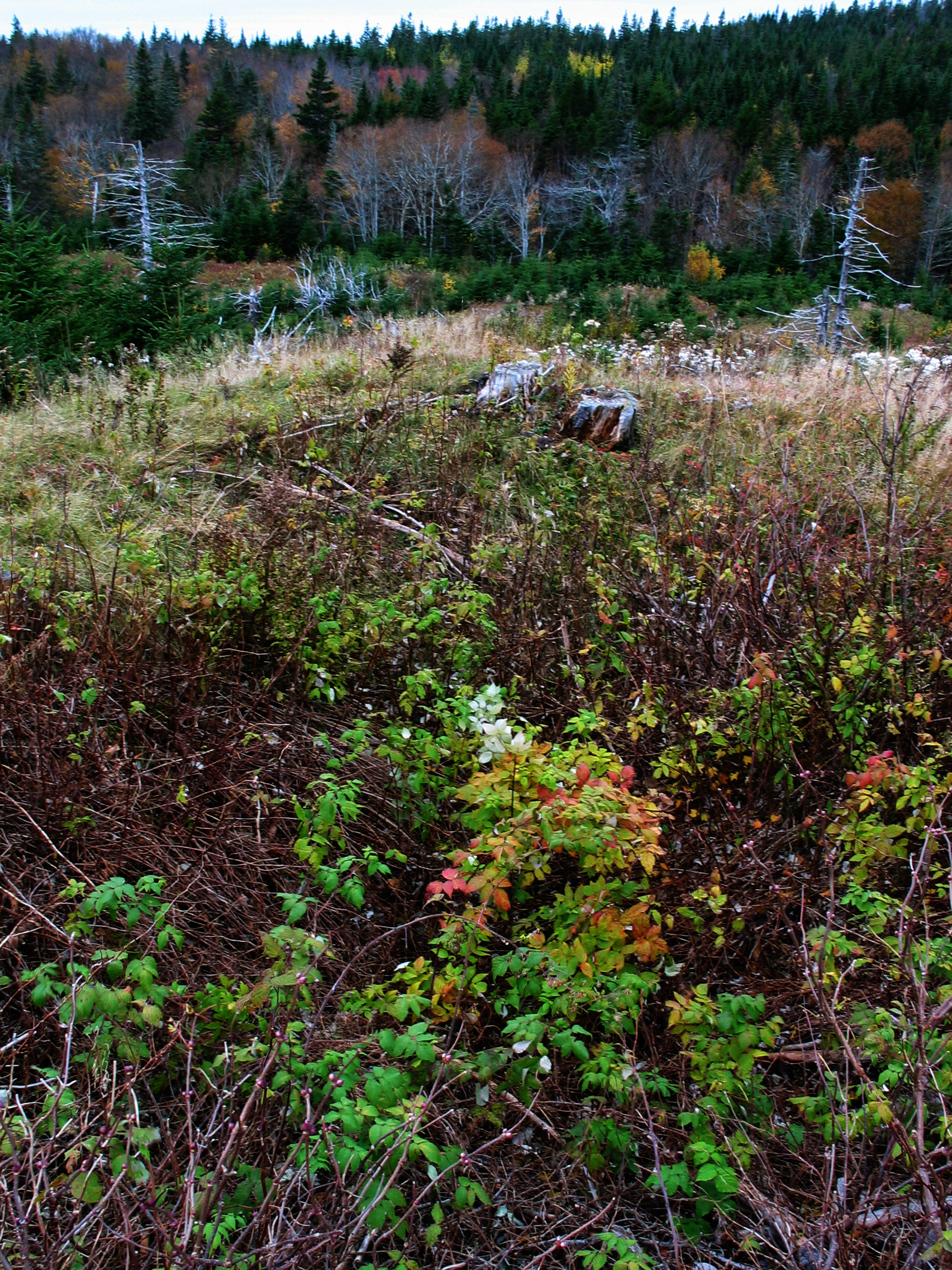
Below is the view to the west over the edge of the foundation:
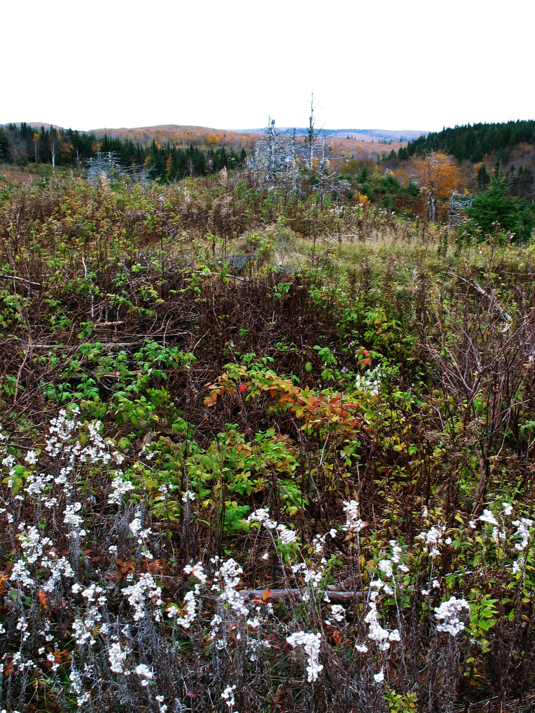
View towards the southwest:
November 2, 2005.