Bantjes, Rod, “Powers_R.html,” in Eigg Mountain Settlement History, last modified, 14 August 2015 (http://people.stfx.ca/rbantjes/gis/txt/eigg/introduction.html).
Robert Power (Eigg Mountain Settlement History) (Map Location)
This site is just south of the Main Road east of where Archie’s (or Power’s) Brook intersects the Road. MacLean indicates that Robert Power married Kate MacEachern of Pleasant Valley and had one daughter, Kate, who eventually moved to Antigonish.[1] The 1871 census describes Robert as Irish and his wife Catherine as Scottish. Charlie Teasdale remembers hearing of the two Kates walking from here to Antigonish to pick up supplies. He also recalls stories of a son who died young. He also reports that there was some confusion about the name for Gaelic speakers for whom it became something like “Ra Poors” (?) (Charlie Teasdale, Eigg Mountain November 24, 2005) He conveyed some land to Lachlan MacEachern in 1861 (see Deed). Power left this site in 1932-33 (Kenton and Charlie Teasdale, Antigonish, December 2, 2004) [This does not fit with the deed to John Power in 1878]. Later it was used for a sawmill owned by the Teasdales’ uncle Murray Teasdale.
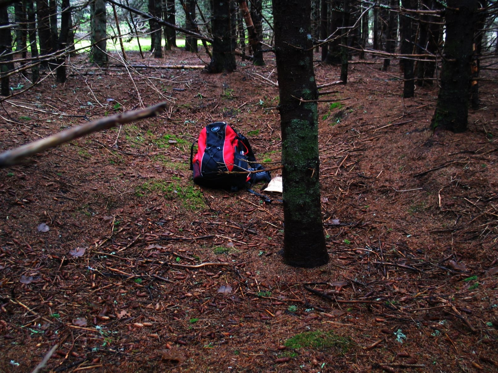
The traces of the farm have been partly obscured by activity connected with the mill. A bulldozer has been moving earth near where we decided the house site might be. It is a very indistinct but clearly rectangular depression with no evidence of stone. It has a soft bottom suggesting that it may have been deeper and filled in with forest debris. It measures about 15 by 18ft with no clear foundation beyond the cellar walls. It is oriented at 283 degrees along the long wall.
There is some question regarding the fields associated with this farm. From the aerial photos the only obviously worked land is a tiny triangle west of Powers Brook, east of the main road, and north of Big Archie’s wall – 22 acres if you extend it across the brook. There is also a significant encroachment on Power’s cultivated land by Big Archie MacDonald, as indicated by a boundary wall between their two properties. This is not enough to support a farm – how did this work exactly?
Below is a photo looking east across the cellar (if this is indeed what it is)
November 24, 2005