Bantjes, Rod, “Smith_John.html,” in Eigg Mountain Settlement History, last modified, 14 August 2015 (http://people.stfx.ca/rbantjes/gis/txt/eigg/introduction.html).
Smith, John Sr. (Eigg Mountain Settlement History) (Map Location)
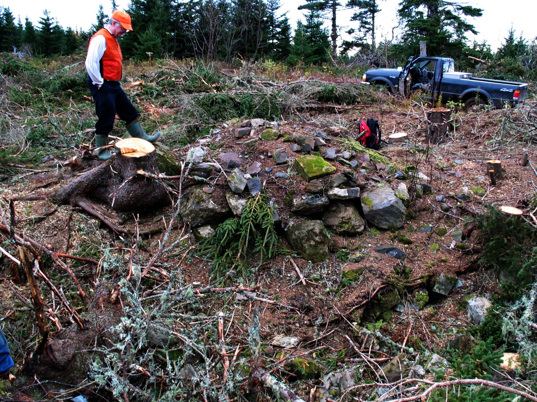
John Smith, born in Moidart, Scotland, was the original grantee of a large tract of land including this site. The original Smith site may have been elsewhere, the Teasdales do not know for sure. The house he built here was deluxe by Eigg Mountain standards. The cellar is large and double chambered. It is “L” shaped and oriented at 14 degrees. The north wall was probably the front. It measures 33 ft. The east wall measures 35 ft. The ends of the “L” are: to the south 22 ft, to the west 20 ft. The cellar entrance was likely in the south wall of the west “wing.” Much of the stone is shaped; some of it, particularly around the hearth is dressed. There is evidence that square nails were used in construction. (Eigg Mountain, November 2, 2005)
The property is referred to in “Boundaries of School Sections for Antigonish County.” The western lines of John Smith’s property define the western boundary of the school district 1873(?).
John Smith senior married Mooney’s sister [Smith senior’s wife was born in 1751, therefore this is not likely]. Their daughter married William Col [dates do not match]. When old Smith died William Col and his wife moved to this site from his far less grand house to the north (Eigg Mountain, November 2, 2005). I now (November 17, 2007) suspect that this is the “R. MacDonald” on the Church Map.
Below is Kenton Teasdale looking at the hearth. The truck is on Frank’s Road to the west.
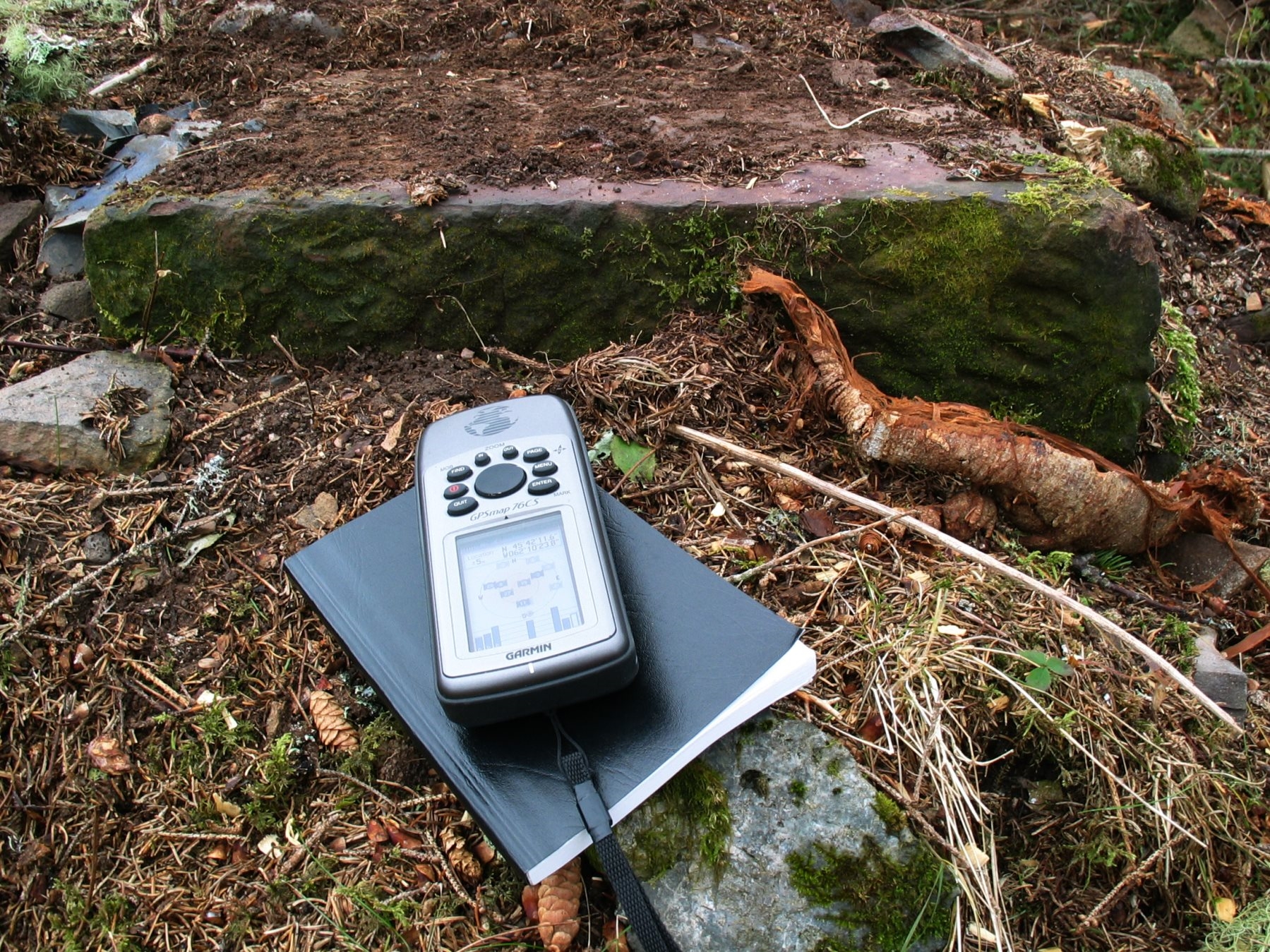
Below is an example of dressed stone from the hearth.
Eigg Mountain, November 2, 2005.