Bantjes, Rod, “Gillis_G_P.html,” in Eigg Mountain Settlement History, last modified, 14 August 2015 (http://people.stfx.ca/rbantjes/gis/txt/eigg/introduction.html).
Gillis, G. P. (Eigg Mountain Settlement History)
This site is on a western spur of the mountain north of the “Boar’s Back.” The tablelands on this spur appear to have been covered with continuous fields. A property line divides it into a north-western half granted to William Gillis (see Lot 164) and a south-eastern half on which the house foundation lies. The Church map indicates a G. P. Gillis in this area in 1879. The Geological Survey map of 1893 indicates a Colin Gillis.
The house site is on a knoll and would have had a view overlooking the Northumberland Strait to Pictou Island and PEI. The cellar is oriented 304 degrees (i.e. northwest) with the northwest wall measuring 24 ft. The cellar entrance is at the western corner of this wall. It is roughly a square with the second wall measuring 25 ft. Charlie speculates that there might have been a small 10 X 12 ft addition off the “back” (southeast wall) which he thinks may also have been the gable end. There is level ground, but no evidence of rock foundation to define this addition.
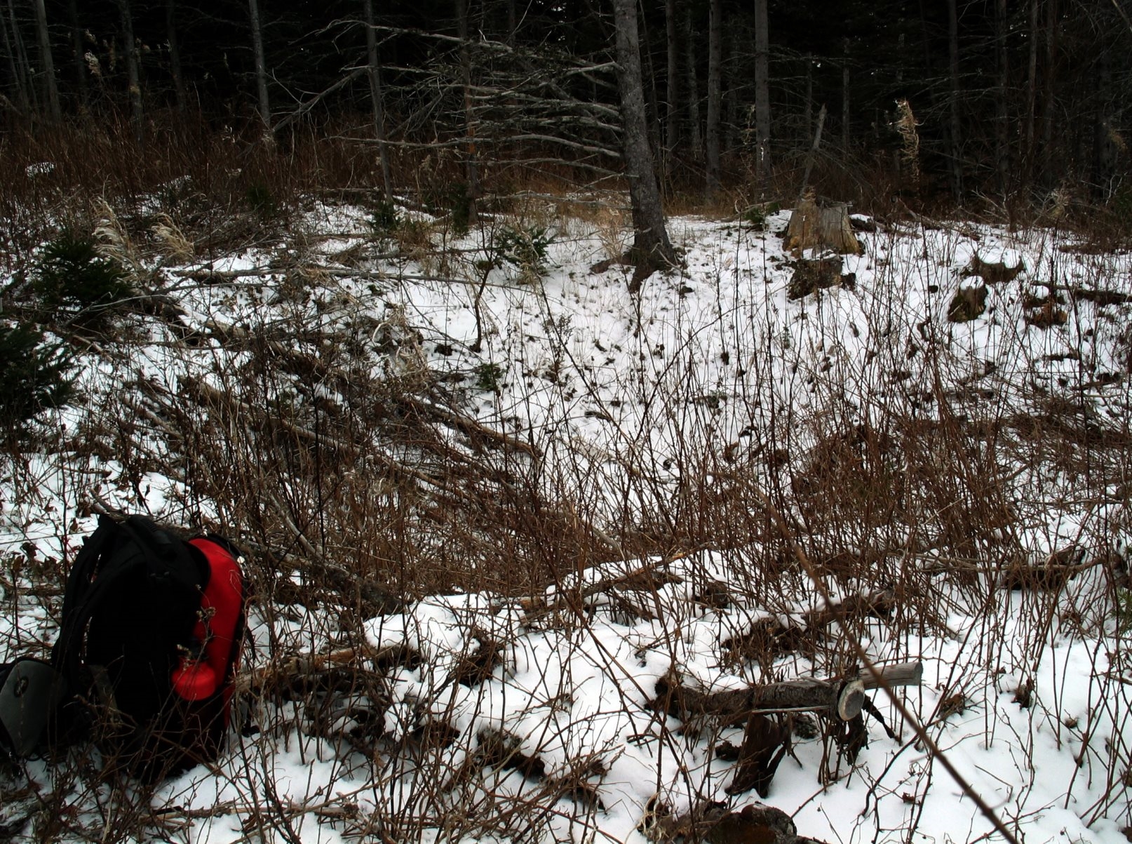
Below is a photo of the cellar looking south
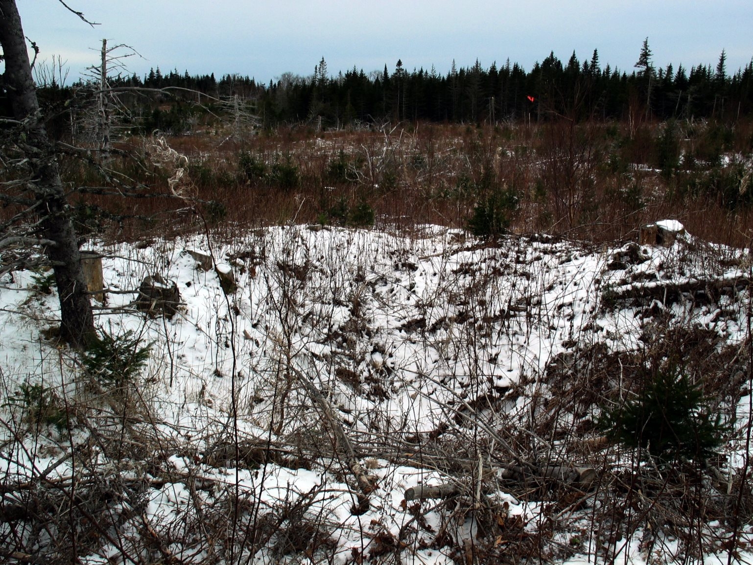
Below is a photo of the cellar looking northwest out towards PEI.
Charlie and I did a large circle around the fields but found no rock piles. We did however find evidence of a dug channel presumably to drain a damp area of the field. Below the House site there is a small foundation that we decided might have been a workshop.
R Bantjes, Eigg Mountain, December 9, 2005