Bantjes, Rod, “Woods_Foundation.html,” in Eigg Mountain Settlement History, last modified, 14 August 2015 (http://people.stfx.ca/rbantjes/gis/txt/eigg/introduction.html).
Foundation in the Woods (Eigg Mountain Settlement History) (Map Location)
This site is a bit of an enigma. It is located 400 metres southwest of the tentative location of the Donald MacPherson farmhouse at a spot that neither Charlie nor I would have expected a house site. The area around it lacks the marks of a former field: it is covered mostly in hardwood, the forest floor is uneven (although without a pronounced pit and mound topography), and there are no rock piles in the immediate area. The closest clear evidence of field associated with the MacPherson property is about 200 meters to the north.
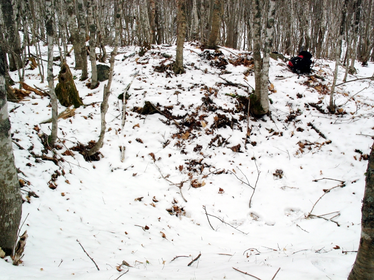
The cellar measures 18 by 14 ft. The foundation extended at most another 5 ft on the northeast side, making it a very small house at 23 by 14 ft. Assuming that it faced downhill towards a nearby stream its orientation would be 215 degrees or southwest. Oddly, there is a large rock pile on the southeast side. This might be a collapsed chimney, but no other foundation we have seen has anything like this. The cellar is definitely rectangular. Walls on the down-slope have been built up as is typical with foundations on Eigg Mountain. There is no evidence of a “ramp” on one side that might indicate that a bulldozer had made the structure. Therefore it probably was a building.
People were not likely to go to the trouble of digging a cellar for a hunting camp or a still. So it likely was a house or agricultural building. Why then was it not in or near a field? It may have been the dwelling of a squatter who abandoned the site in the early 1800s before making significant improvements to the surrounding land. If it was in fact the house of the MacPherson property, it may have been in a rough pasture south of the ploughed fields. So far we have only identified about 17 acres of field, which probably is not enough for a viable farm. If the census shows closer to the normal range of 40 cleared acres I would lean towards this latter hypothesis.
Below is a picture looking across the cellar northeast toward the rock pile.
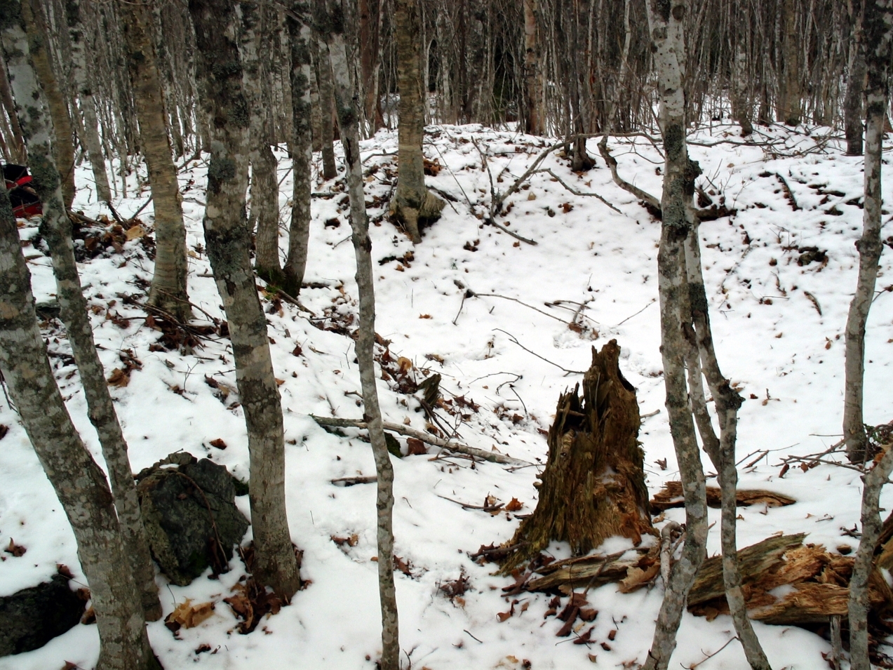
Below is a picture looking diagonally across the cellar to the west.
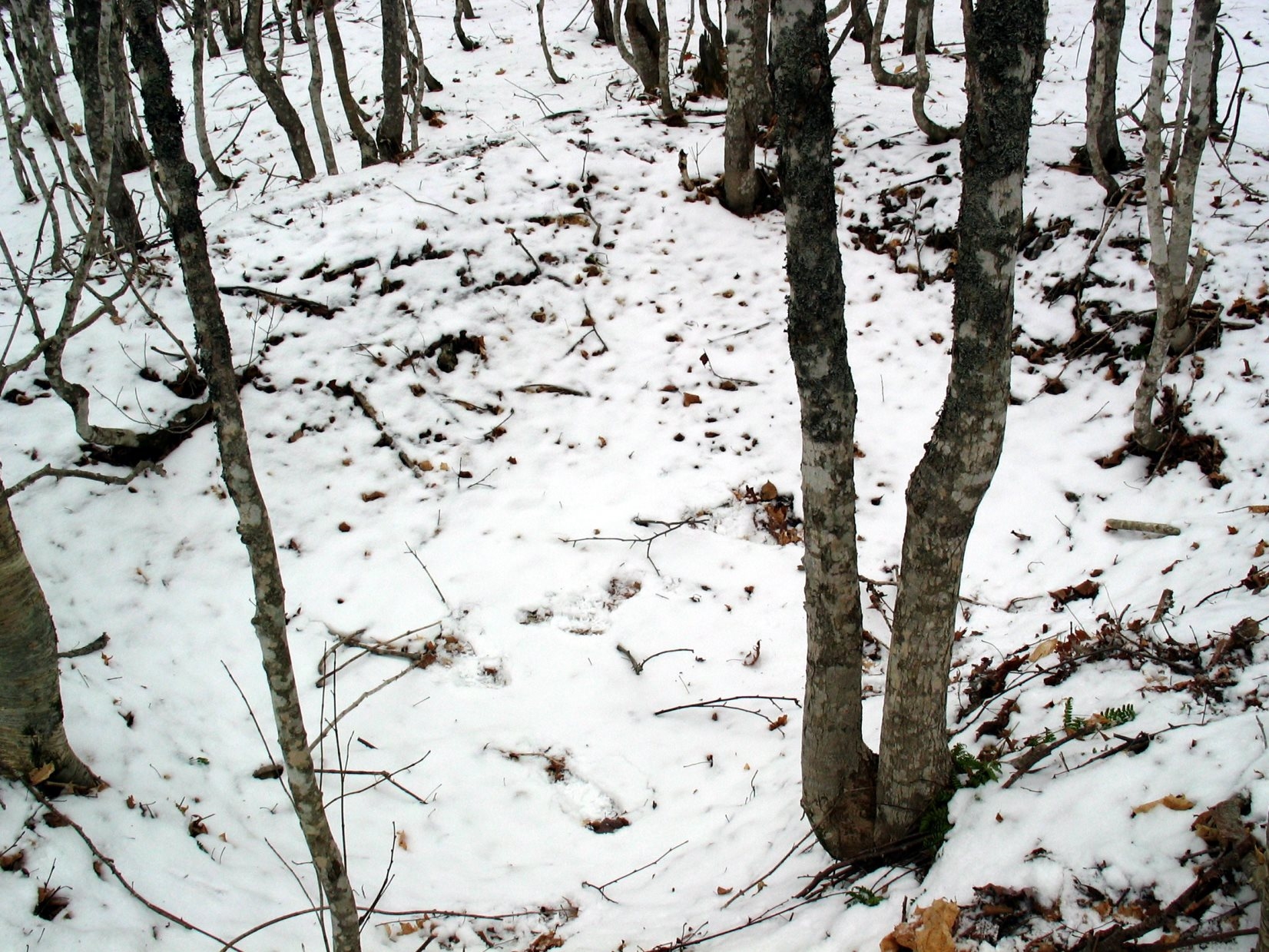
Below is a picture from the rock pile looking north.
Eigg Mountain, December 9, 2005.