Bantjes, Rod, “MacMillan_Donald.html,” in Eigg Mountain Settlement History, last modified, 14 August 2015 (http://people.stfx.ca/rbantjes/gis/txt/eigg/introduction.html).
MacMillan, Donald (Eigg Mountain Settlement History) (Map Location)
This site is about a kilometer below Malcolm Fraser’s in the Powers Brook Gully on the west side of Power’s Brook. Charlie and Kenton insist that this is the D. MacMillan that Church puts on the east side of the Gully just east and north of the Main Road (62º 7’ 0.87” W, 45º 41” 10.73” N.) Church also puts a D. MacPherson (Donald MacPherson on our map) and an L. MacEachern (Lauchy MacEachern on our map) in a line below D. MacMillan. We have placed them both to the west of Power’s Brook. Church has them west the Main Road (closer to where we have placed them) but well east of Powers Brook. Part of Church’s error is his placement of the brook (which he has running southeast). An 1861 deed mentioning Donald MacMillan, does however (very vaguely) locate him closer to where Church indicates. The Geological Survey Map of 1893 lists Alex MacMillan as the occupant.
Donald MacMillan first settled in Mulgrave, then moved to Creignish/Judique, then moved up to Eigg Mountain to this site just above Lauchy MacEachern (probably to be close to his sister, Anne who had married Lauchie). Donald’s adult children remained in Mulgrave. Donald MacMillan built the house here, but later moved up to a site that he bought from Old John MacIsaac north of the Main Road on the MacMillan Road. He gave the property in the gully to his son Alex who was the last to farm it. Alex’s children Ronald and Jennie owned the property but did not farm it. The last occupants of the house left around the late 1910s (Kenton Teasdale, November 3, 2005). (This 1910+ date is contradicted by the 1891 census which lists neither Alex, nor his father Donald in this vicinity.) Presumably this is the same Donald MacMillan mentioned by Rev. MacGillivray as one of the early settlers. He was from the Scottish isle of Eigg (MacLean, et al., 113). He was the one in a fatal fight with Big Archie MacDonald.
The story passed down by Lame Angus is that when he was a boy around the turn of the century,[1] his family had an agreement with the MacMillans. They lived across the gully from one another; while they were just over a mile apart there was no direct road linking them. Donald MacMillan’s daughter was a haemophiliac or “bleeder” as they put it at the time. If they needed assistance for her they would sound a trumpet that could be heard across the valley separating them. When such a call finally did come, it happened that Lame Angus’s father was away, Lame Angus himself was too young to be of help and his grandfather Allan who was with him was old and uncertain of his ability to make the trek through difficult terrain. The two of them set out anyway – his grandfather striding along and him, limping, trying to catch up. While Lame Angus later became known as a healer, he remembers then wondering what he and his grandfather were going to do exactly when they arrived at the house. They did nothing as it turned out since the girl had already stopped bleeding when they arrived. (Kenton Teasdale, November 3, 2005)
The Geological Survey map indicates two buildings (in the way that it usually indicates a house and barn) just north of here and below Malcolm Fraser’s farm. Charlie Teasdale thinks the hardwood stands north of this farm were never cut or put into fields (November 3, 2005).
What remains of the house is a small single-chambered cellar measuring 16 ft. (north-south) x 20 ft. (east-west) with little evidence of a larger foundation. (Charlie paced it out again and got 24 ft east-west and 20 ft north-south. Perhaps he was seeing foundation beyond the pit or was taking into consideration that the cellar likely was filled in from the road when it was bulldozed for logging). It is oriented 18°. In other words, it could have faced north, south, east, or west. Charlie thinks likely east, facing across the road towards the barn.
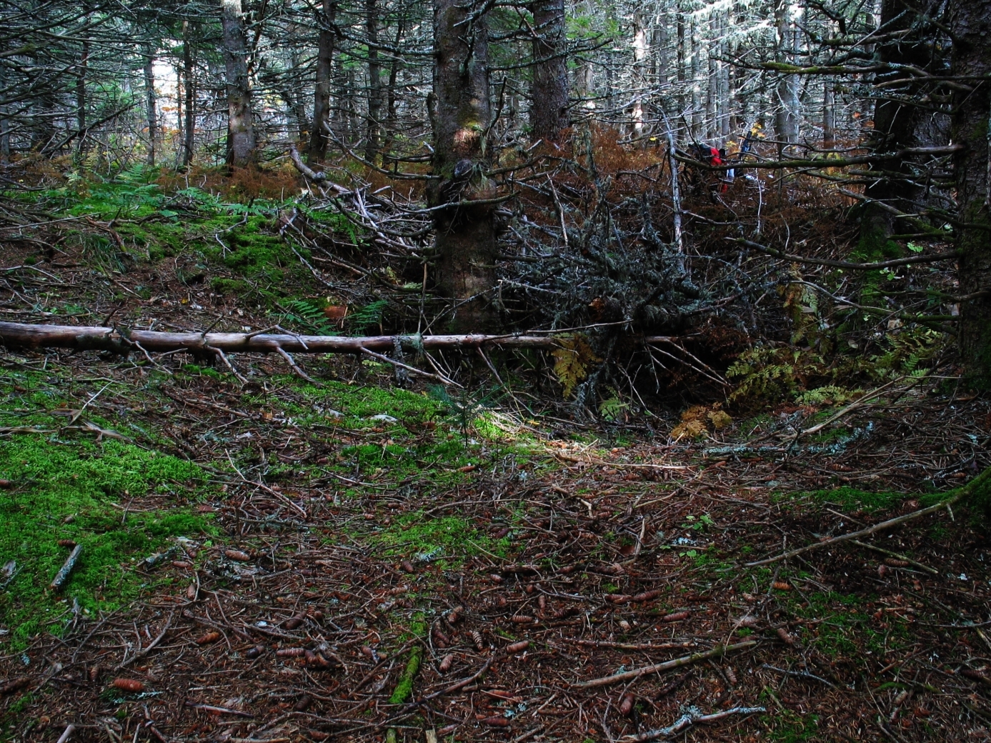
Figure 1 – Across the Cellar.
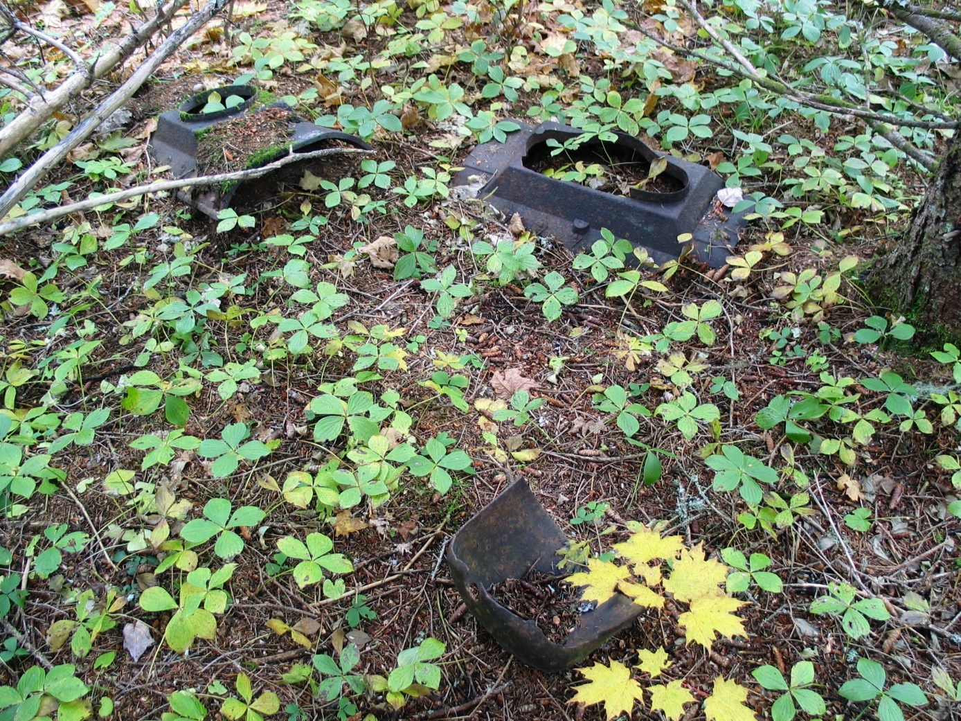
Figure 2 – Stove Parts in the woods.[2]
Sunday, November 7, 2004.
MacLean, R. A, et al. History of Antigonish. Antigonish, N.S: Casket Printing & Publishing Co, 1976.